Andes 101k – 8.14.26

The Andes 101k is considered one of the toughest races in the world. It has approximately 18,600 ft of elevation gain in 63 miles, with the lowest point on course at approximately 10,000 ft and the highest point at 15,500 ft. It takes place in August during the Peruvian winter time aka the “dry season” which means intense sun during the day and very cold nights. The 3 pm start time means runners will only get 3 hours of daylight in before heading into the dark and cold for the next 12 hours. 

I first heard of the Andes 1001k from an article in Outside Online. The title read something like this: “This epic ultramarathon has more llamas than runners”. It talked about the inspiration behind the race; Incan messengers called chasquis who collectively traveled up to 200 kilometers on foot to deliver messages. With no written language, these messages were often in the form of tied knots. Each chasqui would cover 6-9 kilometers before passing their message on to the next chasqui. In this way, information could travel up to 200 kilometers in one day. Rich in Incan history and soaked in local tradition, this race immediately planted itself on my bucket list. 

After 3 years of heading to Italy for the Tor des Geants, a race that had taken a firm grasp of our hearts, Yuch and I decided it was time for something very different. We decided it was time to go to Peru! I had gone for the first time in 2018 with my sister, cousin, and aunt, but had always wanted to go back with Yuch. I especially wanted to spend more time in Cusco and the Sacred Valley. 

We arrived to Peru two weeks before the race. At this point I was pretty much in “taper mode” aside from a couple of long runs we had planned at altitude. An unusual taper, but in the end it all worked out! The first few days were spent in Arequipa at 7,660 ft. This is a great place to start acclimatizing if you are coming straight from sea level. We did a very short  sightseeing run in Arequipa to break the ice. Arequipa is a beautiful city and you really can’t go anywhere without seeing its 3 volcanoes – El Misti, Chachani, and Pichu Pichu.
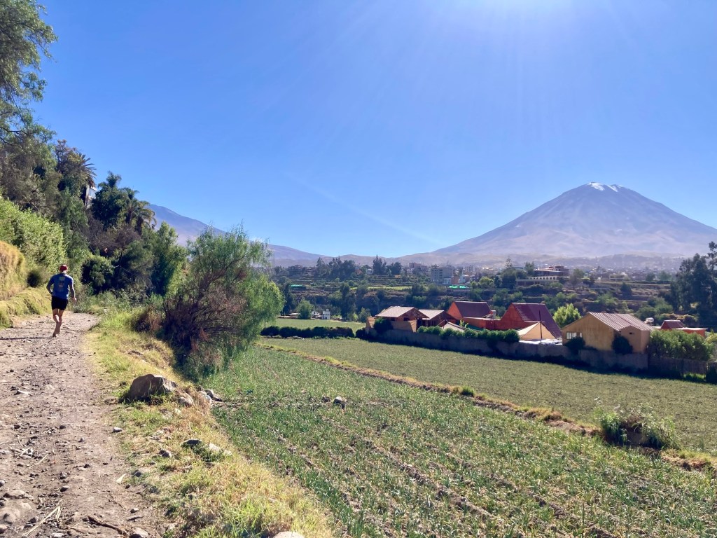
El Misti in the background

We then headed to Cabanaconde at 10,800 ft and ran an 18 mile loop in the Colca Canyon. This was a great first run at altitude to do. We took it fairly easy but got some good time on feet in. Afterwards, we headed to Cusco which sits at approximately 11,150 ft. We ran 31 miles to, from, and in Choquequirao, getting some more solid time on feet at higher altitude. Moving at altitude still felt hard, but I could tell it was getting easier. Outside of a ton of walking and sightseeing, these were the only 3 runs I did in the two weeks prior to race day. 

The Andes 100k is a point to point race. It starts in a town called Huaran and ends in Ollantaytambo. The race organizes busses to transport runners from Cusco to Huaran before the race as well as back to Cusco from Ollantaytambo afterwards. We decided to stay in Ollantaytambo and catch a ride to the start. That way we could stumble to our Airbnb after the race. I highly recommend this option! 

Ollantaytambo is a beautiful town in the Sacred Valley that is rich with Incan history. Aside from the ruins there that are commonly included in the Sacred Valley/Cusco ruins tour, the town itself is one big Incan ruin. The original grid work that the Incans built for the town still exists in addition to much of the foundational stonework and canals. It really is quite beautiful and special to stay in a neighborhood with so much history. Sadly, in 2018 our tour group only toured the main ruins in Ollantaytambo and the tourist market so my previous experience in Ollantaytambo had been reserved for the “tourist” attractions only. 
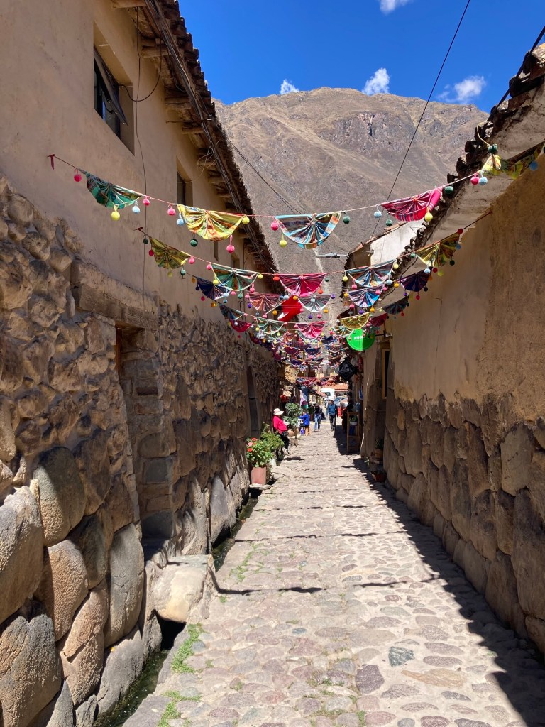
A typical street in Ollantaytambo with Incan stone foundation

We arrived to Ollantaytambo on the Wednesday before race day (Friday) via a bus from Cusco. That morning we had stopped by the “bib pickup” in Cusco although they called it “Kit delivery” so we nearly missed picking up our bibs. 

In Ollantaytambo, our Airbnb was just minutes from the main square, had some original Incan stones inside the premises, and had a great view of the mountains from the second floor. That night we ate at a vegan restaurant around the corner from our place. Did I mention that we have eaten 100% vegetarian and vegan this entire trip? Do not be afraid of Peru if you are either. The food and restaurants are excellent. 
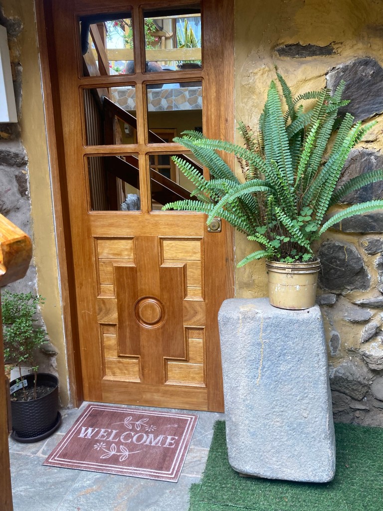
Airbnb front porch with Incan stone

The Thursday before the race we did very little other than organize our packs. Despite being at much higher altitude than the Tor and having much more extreme temperature ranges, I was surprised at how minimal the gear requirements were. That being said, my pack was still very similar to what it looked like at the Tor. The main difference was that the Andes 100k required the following items that I have never seen on a prior required gear list for a race: a mirror, a rear red blinky light, and a pocketknife. We had purchased the first two on Amazon prior to our trip, but unfortunately both of our pocket knives had been confiscated at various points on our trip (because knives are illegal to bring on planes, people). I vowed to not spend any more money on a pocket knife while Yuch was concerned that we wouldn’t be allowed to do the race without it. In the end we ended up spending 69 and 79 soles on two brand new Swiss Army knives from an outdoor store in Cusco. I loved my new shiny little pocketknife, but I knew I couldn’t get too attached as we would again be pulled apart after the race was over. 

Friday morning we walked over to the square around 11:30 am with the plan of finding a ride on the spot. There are so many drivers that are looking to make some extra money. We knew we wouldn’t have a problem finding a ride to Huaran, but we also wanted to make sure we left a sufficient buffer. As soon as we walked into the square, we were approached by someone. And just like that we had a ride. 
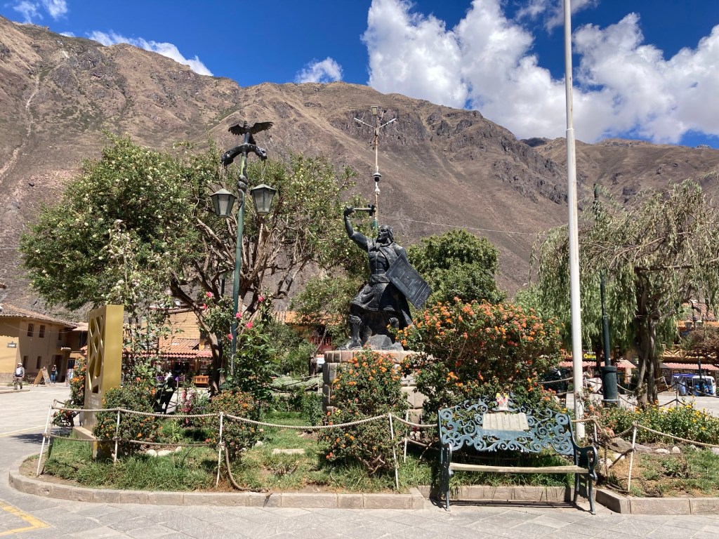
Ollantaytambo Plaza de Armas with Pachacuteq statue and lamp post with snake, puma, and condor

We arrived to the race start around 12:30, a whole 2.5 hours prior to race start. The “start” was essentially a house/villa with a bunch of runners hanging out, putting on sunblock, and organizing their packs. This is a tiny race and I would soon learn that there were only 4 women doing the 100k. I wasn’t sure if I should be excited or scared. I had a lot of fear going into this race that is now hard to explain after the fact. Probably it had to do with going into the “unknown”, a place that some people find exciting but for me; terrifying. I kept reminding myself that I’ve done the Tor, that this was nothing compared to that, but then I would remember that I’ve never been to anything higher than Mt. Whitney. What if I couldn’t handle the altitude and got HAPE (high altitude pulmonary edema) or what if it was so cold and my gear wasn’t enough to keep me warm? What if I was alone the whole race and got into a precarious situation? With such a small field I was surely going to end up alone. Yuch shared some of my concerns. While we hoped that at some point our paths would converge, we agreed that we should run our own races. There would be times when one of was stronger or weaker and it didn’t make sense to always be going the pace of the LCD (least common denominator). 
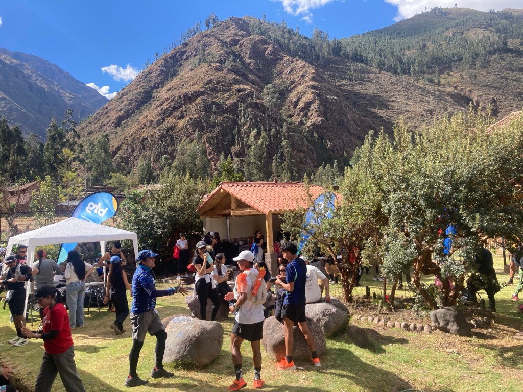
Race start area in Huaran

The race started at 3 pm and we were off. The course climbs 5,500 feet in the first ten miles with the first climb to Pachacutec at 15,500 ft. It started gradually on a wide fire road, yet running at altitude still felt difficult so I alternated between a jog and a hike; a jog when it was truly “runnable”, a hike with any increasing grade. I tried to keep up with Yuch but it was not possible. His jog/hike pace was clearly quicker than mine. I finally let go of the idea of hanging on to him. I would have to do this on my own. 
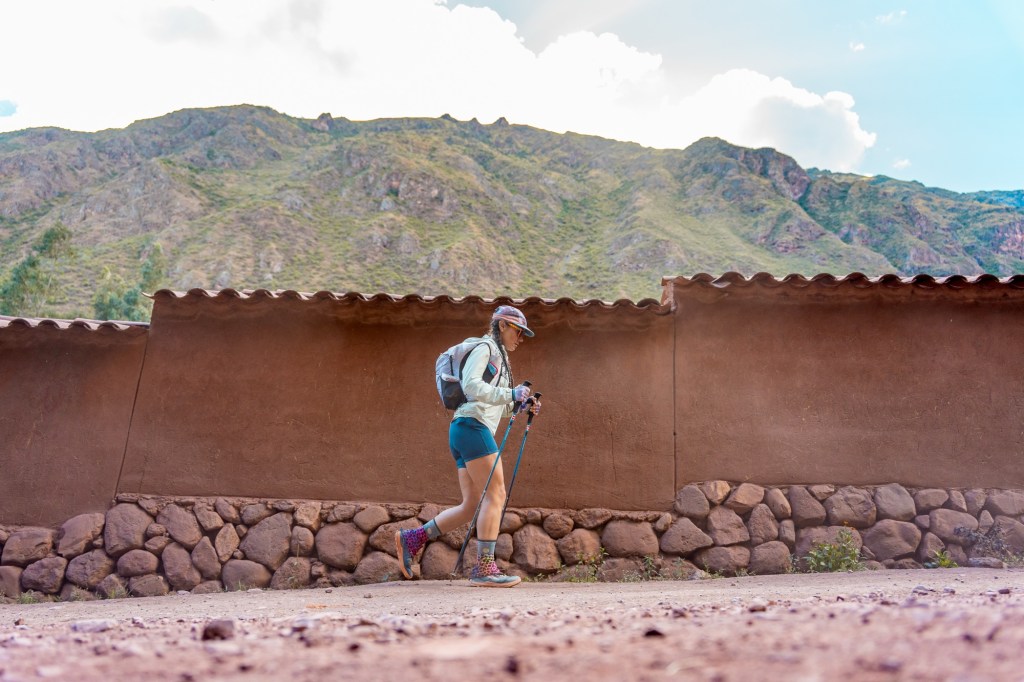
Leaving Huaran
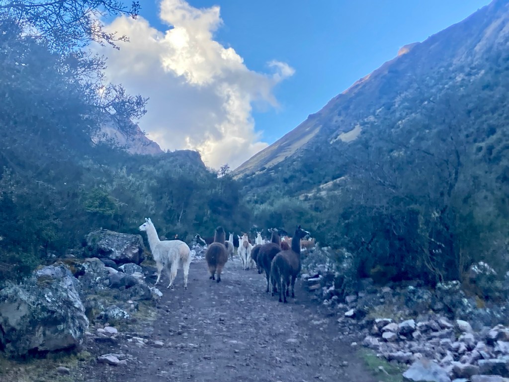
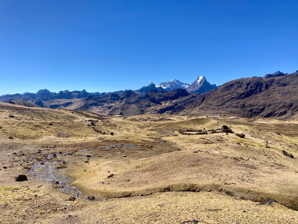
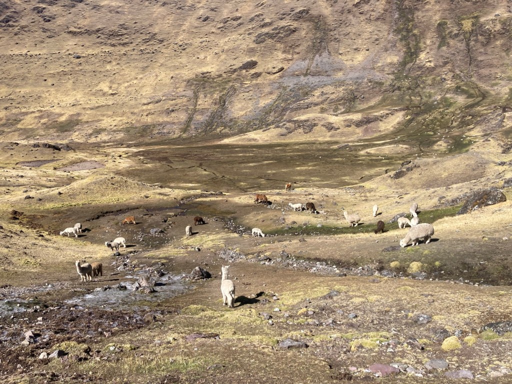
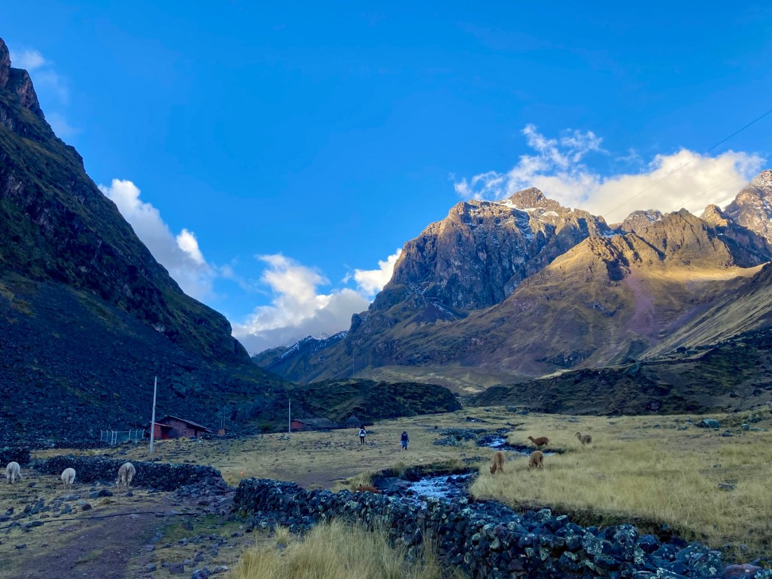
No Yuch to be seen, but muchas llamas

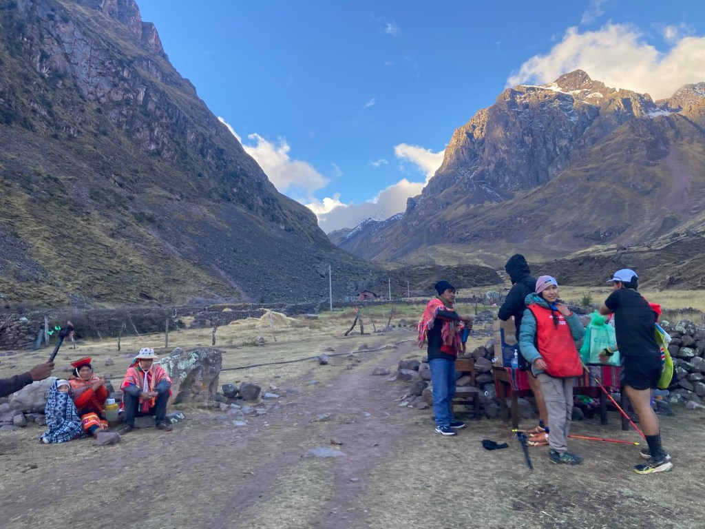
The first water station at Cancha Cancha surprised me. I had noted that there were aid stations every 20k until the 60k mark in which aid stations would be every 10k. However, I failed to note the water stations in between aid. Peruvians dressed in traditional Andean clothing were filling up runners water bottles, and families sat along the course spectating. I got my bottles topped off despite hardly drinking much for the last two hours. It had been slightly overcast to this point and now at 5 pm the sun was starting to get lower. It was starting to feel cold. 
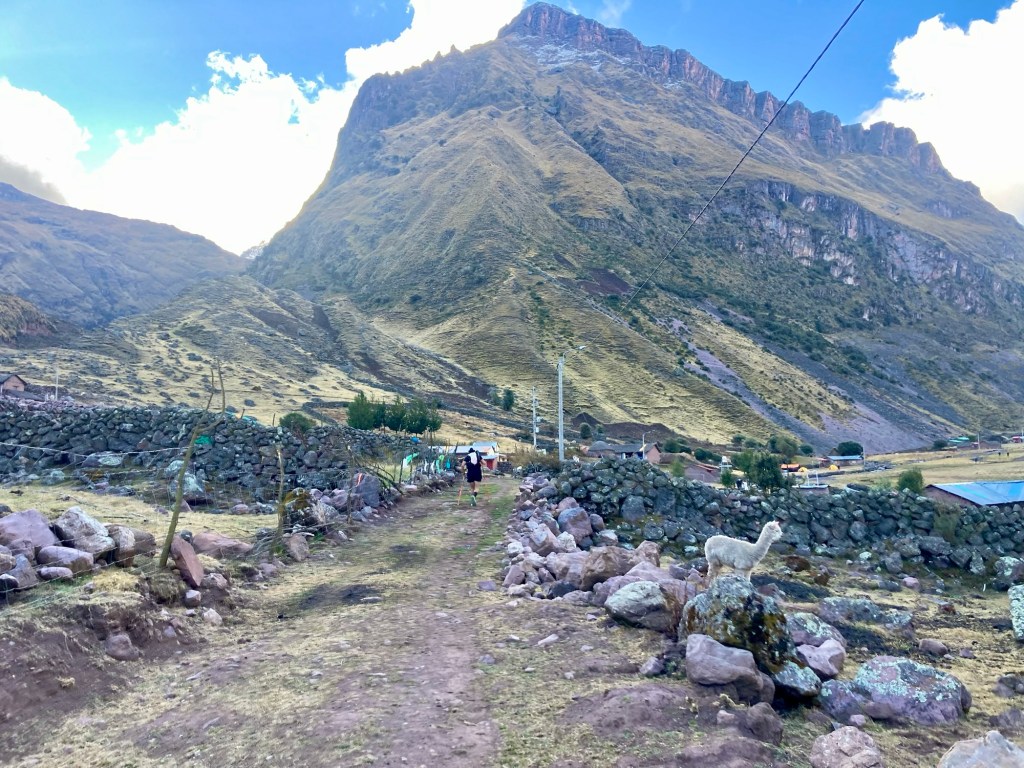
Arriving to Cancha Cancha
Water station #1 at Cancha Cancha

Shortly after leaving the water station I pulled aside to put on more layers. It would be one more hour until sunset and we were about to climb to the highest point on the course. I took my shoes and gaiters off and put my leggings on over my shorts. I put my smart wool base layer on followed by my down jacket, rain jacket, gloves, and buff. I basically had all my warm gear on. 
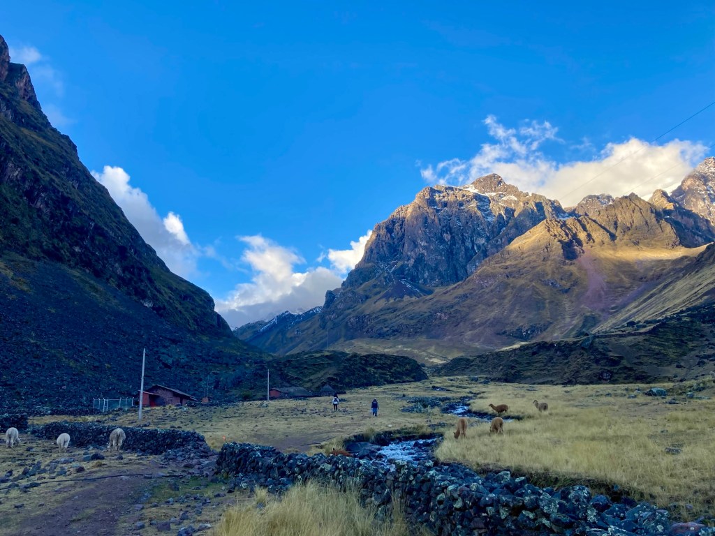
Leaving Cancha Cancha
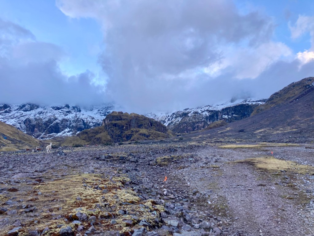
Snow up ahead as we ascend

The ascent to 15,500 feet was beautiful. Snow surrounded the sides of trail but for the most part the trail was snow free – just muddy. As it got closer to 6 pm I took out my light belt. The summit was slightly anticlimactic as far as altitude goes. I didn’t notice a huge difference in my breathing, maybe because I was just going so slow in general. I lost sight of the race ribbons a few times and had to backtrack. At this time, I teamed up with two other Peruvians who had done the 60k the previous year. One of them, Jorge, spoke English but I still tried to practice my Spanish with him. A lot of our conversation was me speaking in Spanish and him speaking in English. Having been previously fearful of going into the race alone, it felt comforting to have a couple of newfound allies. 
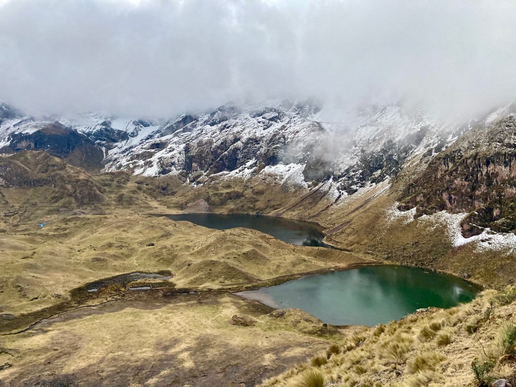
Last picture before sunset

On the descent down to the first aid station it felt noticeably good to come down in altitude. I noticed myself getting warmer and starting to sweat but couldn’t be bothered to take off any clothing. I wanted to keep the downhill momentum going. This attitude would also affect my fueling. I had been eating some but not nearly as much as I would normally in a race. I had planned on relying heavily on aid stations although I had my pack stocked with various bars, cookies, and sweet bread. I would wait until I got to the first aid station to eat some real food there. 

I reached the first aid station at Quishuarani, 22 kilometers in and now back down to 12,500 ft. I cursed myself for not stopping to take any layers off because everything was now sweaty and damp. I started to take everything off and the race organizers repeatedly asked me if I was okay and if I needed anything. Yuch and I would observe throughout the race how diligent the organizers were about checking in on runners safety. Despite having so much fear going into the race, I felt really safe the whole time and even safer knowing I was being looked after. As best as I could I tried to ensure them I was just “mojada” (wet), because I didn’t know how to say I was sweaty. In the end, I only ended up taking my undershirt off thinking it was the most damp, and putting everything else back on. I had some soup and instant coffee (although I really didn’t need the caffeine this early on) and continued on wondering how far ahead Yuch might be. I briefly paused at a fire pit with locals huddled around and warmed my hands for five seconds knowing I would be going back up into the cold, this time with sweaty clothes. 

The second ascent up to Hulliquisjasa was short and steep, about 3000 ft of gain in 3 kilometers. I caught up to my Arequipan friend, Jorge, just as he let out a loud “Fuuuuck!”To me, this was just a tiny snippet of the Tor, nothing more – power hiking under a beautiful night sky lit up by a thousand stars. I decided to practice my Spanish. I told him that when it got hard, I liked to remember why I do these things – to be in a beautiful place surrounded by beautiful things such as the night sky. 

The descent to the next aid station dropped us over 4,500 ft in about 15 kilometers. Hulliquisjasa had been at approximately 14,500 ft and the next aid at Lares would be just under 10,000 ft. On the descent I saw a light ahead of me and recognized the gait of the runner to which it belonged to. It was Yuch! I was beyond ecstatic and we ran into the 40k aid station together. 

At the Lares aid station I felt like a celebrity. People were photographing and filming us. A woman asked me what my name was so she could tag me on Instagram. I don’t have Instagram so I told her my name and she would end up referring to me as “Megan Konon” in a Facebook reel. Yuch told me he was feeling pretty wasted already 40k in and that his stomach was inhibiting him from eating. We took our time enjoying the hearty aid station soup and had 2 cups each. If I was not going to do a great job eating on the trail I wanted to make sure I took my time at the aid station. We agreed that this quinoa and veggie soup was the best aid station soup we had ever had. 
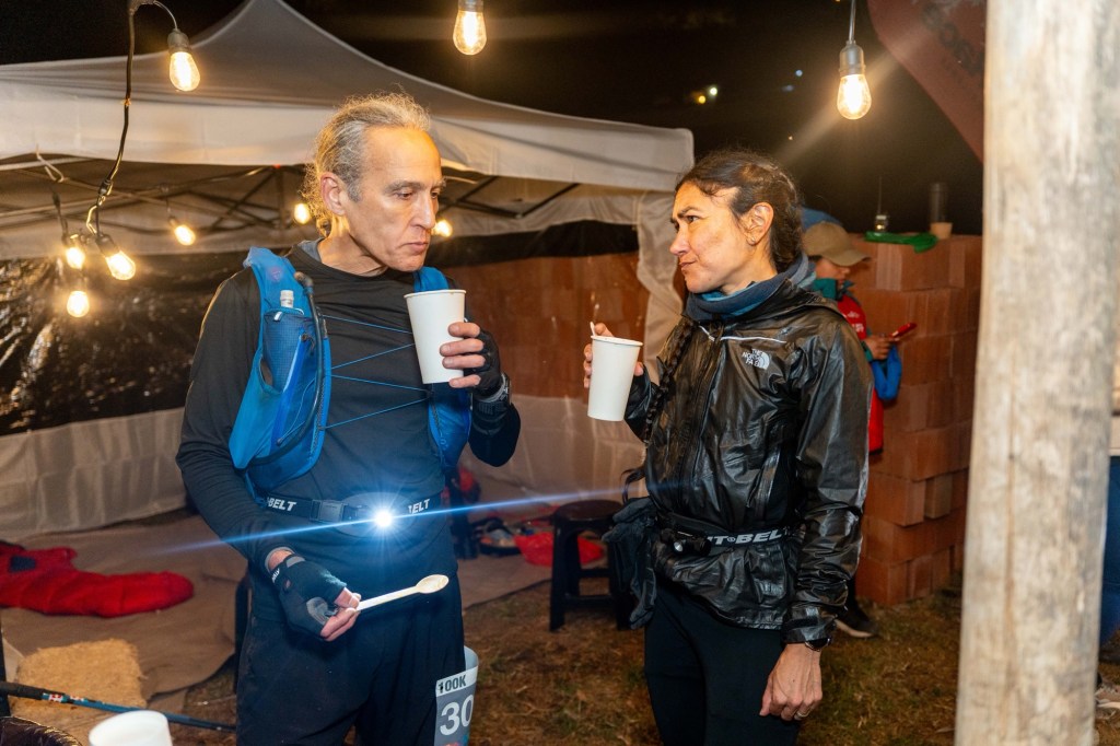
Yuch and I deliberating over quinoa soup at Lares, 40k in
Leaving Lares

Although the race profile does not exactly show it, we had a nice long runnable section after this aid station. The race director had told us we had about 9k of runnable trail and then we should look out for a turn. After that he said it was downright horrible, or something to that effect. 

It was clear when we got to the downright horrible section. We immediately starting climbing up the side of a mountain with no apparent trail, our eyes following the ribbons as best as possible. For whatever reason, the ribbons in this race are not as reflective as another ribbons I’ve seen at night. Yuch volunteered to lead and I was grateful to follow his footsteps instead of searching around for ribbons myself. In this first ascent we would climb 2500 ft in about 3 miles. 

We knew we were climbing to one of the coldest spots on the course, Chupani, at approximately 14,000 ft. The race director had mentioned at the pre-race briefing (which we did not go to but I saw a snippet online) that it was estimated to be -5 degrees at Chupani (which I gathered to be Celsius). Although Chupani was not nearly as high as the first climb at 15,500 ft, we would be getting there at one of the coldest parts of the day; early morning. 

We weren’t cold yet though because of all the climbing. In fact, we both had taken off our down jackets earlier and opted to hang them on the outside of our packs to dry out after being dampened with sweat from earlier on. 

On the way to Chupani I would constantly ask “are we there yet?” especially when we got to a flat section which I thought might be the top. But we were nowhere near the top. It would be another 5 miles of climbing and course finding before we would reach the official aid station at Chupani, at 58k. Around this time we observed a number of fresh runners passing us, with the keyword being “runners” because we were walking now. We were later told that this was the 60k race which had started at 1 am. It started to get colder and we finally stopped to put on all our remaining layers. The only layer Yuch had left that he was not wearing was his pants. 

We arrived to the Chupani aid station around 5:15 am. It didn’t feel like morning because it was pitch black and I’m not sure I had any concept of time having started this race at such an odd hour. The aid station was located in a nice closed building with a heat lamp. Yuch was still having stomach problems and now on top of that, he was shivering uncontrollably. We immediately got more of the quinoa soup to sip on and I added some potatoes to it hoping to bulk up my strongly lacking carb consumption. In the hot drink area they had hot water for instant coffee, coca and muña (mint) tea, and Milo (which I later learned is a Peruvian brand name for hot chocolate). I drank several cups of the tea and popped my first caffeine pill. Yuch was ahead of me on caffeine pills but they weren’t making a dent in him. He was exhausted, could not warm up, and still couldn’t take in much because of his stomach. He stood next to the heat lamp while I filled his soft flasks with hot water. He finally changed into his last layer, his pants. I ate some bread and cheese and lastly took some nuts and dried fruit for the road. We continued on into the cold. 

As we descended from Chupani, we started to warm up. Yuch was so exhausted he urged me multiple times to go on without him but I refused. I never entered this race to compete. It was always the larger adventure and I loved that we were doing it together. I doubted my strength without him and also didn’t want him to lose hope. I’m sure he was more wasted than I could ever understood but having known and run with Yuch for a long time I also knew that he was stronger at that moment than he thought he was. I knew it would be dangerous for him to give into his “Central Governor” aka his brain, slow down, or worse – decide to drop out. I kept telling him he would feel better when the sun came up, but I wasn’t sure that was completely true. 

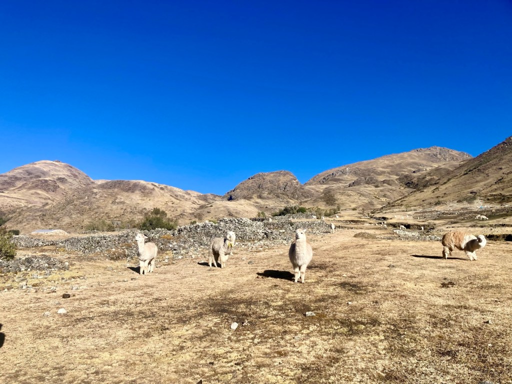
When the sun finally rose, we were eager to take off all of our layers. I have never worn pants for so long in a race before and was happy to strip down into my shorts and long sleeved sun shirt. We were now returning to “civilization” and passing by farms with llamas and alpacas.
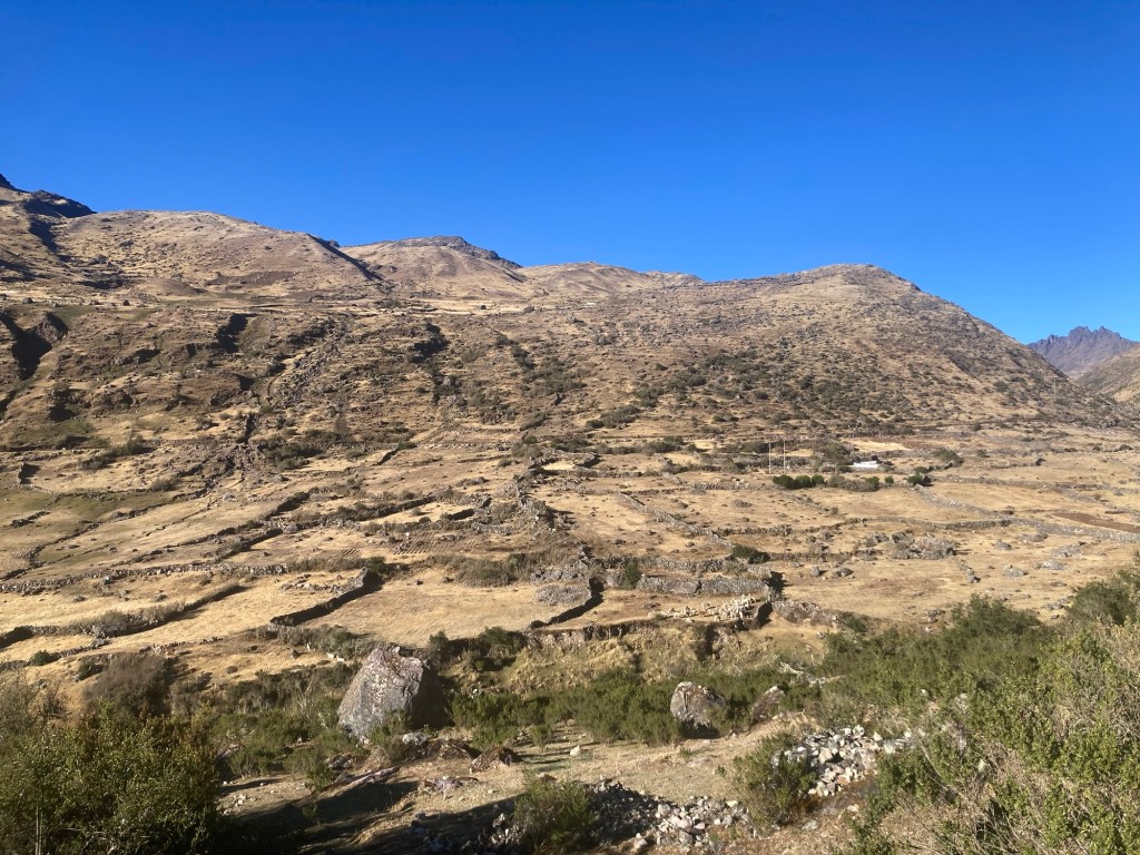
Arriving to “civilization”
Friendly faces greet us

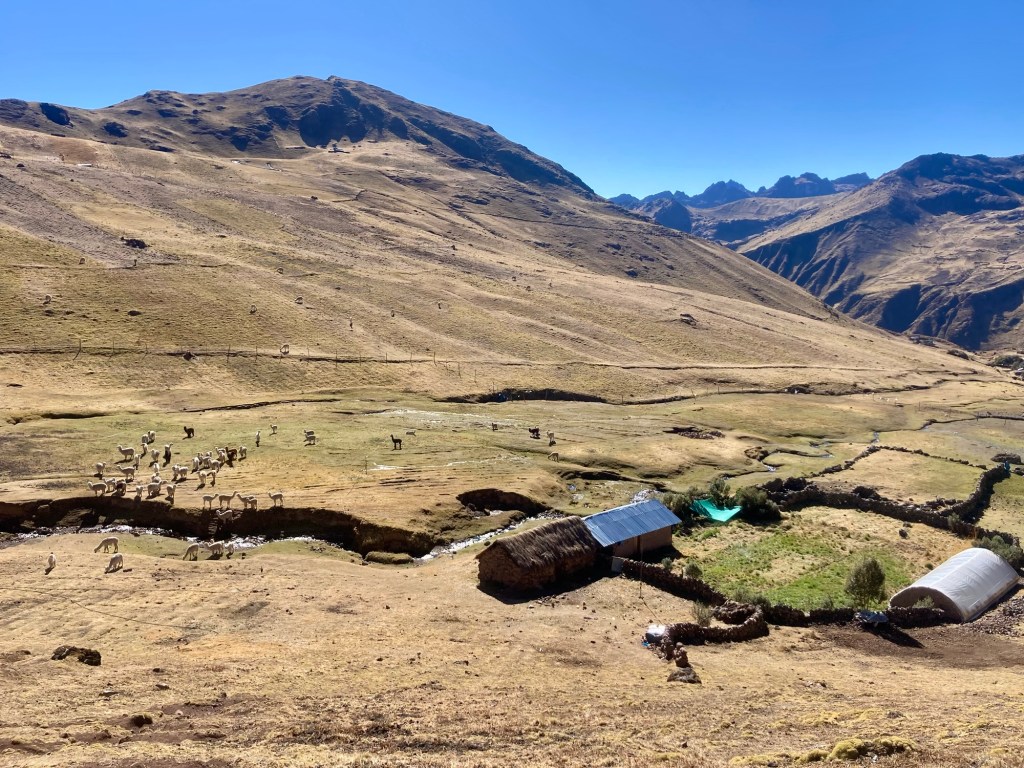
The next aid station was at Huacawasi (71k). Even though it was only 8 am, it was already getting warm! This was the most minimal aid station and we filled up on fluids and grabbed a couple pieces of banana and orange. I offered Yuch my last Tailwind packet since he still wasn’t getting sufficient calories in.  One of the aid station volunteers spoke English and told us the rest of the course was the “fun part” and “Have fun!” In my mind, I imagined that we were approaching the home stretch and that it would all be literally and figuratively downhill from here. 
Departing Huacawasi and heading for the final climb

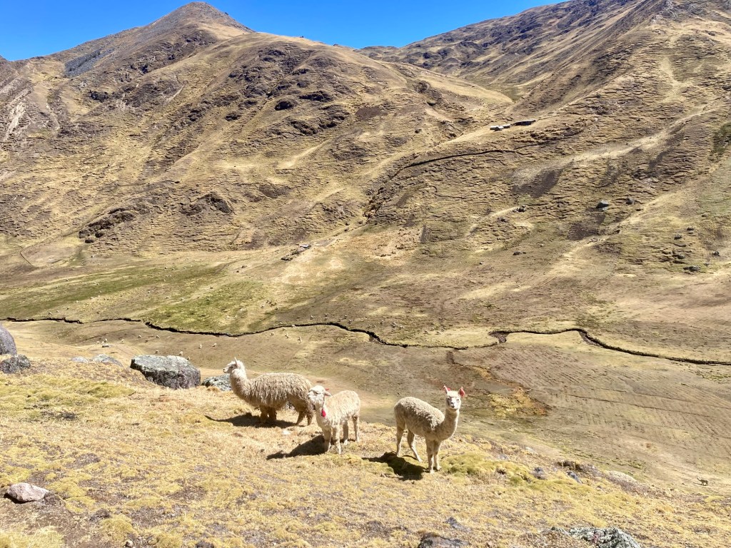
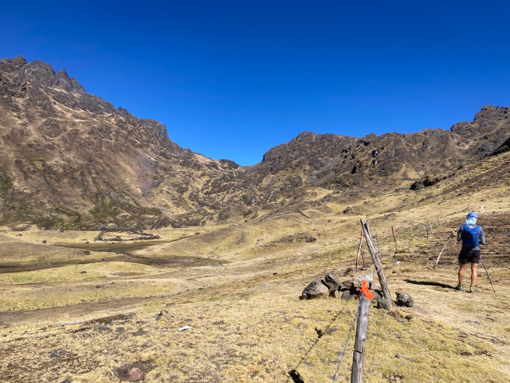
The last climb to Ipsaijasa was a scenic one. Llamas and alpaca grazed happily in the valleys as we made our way up and out. It was so beautiful I didn’t mind the work it took. Yuch continued to struggle, having a hard time processing how much climb we had left ahead of us. I continued to stay positive with the hope of battling his inner voice. I knew we just needed to get to the top and it would all be downhill. After all, the volunteer had said this was the fun part. 
Final pass in the distance
View from behind
Happy grazers

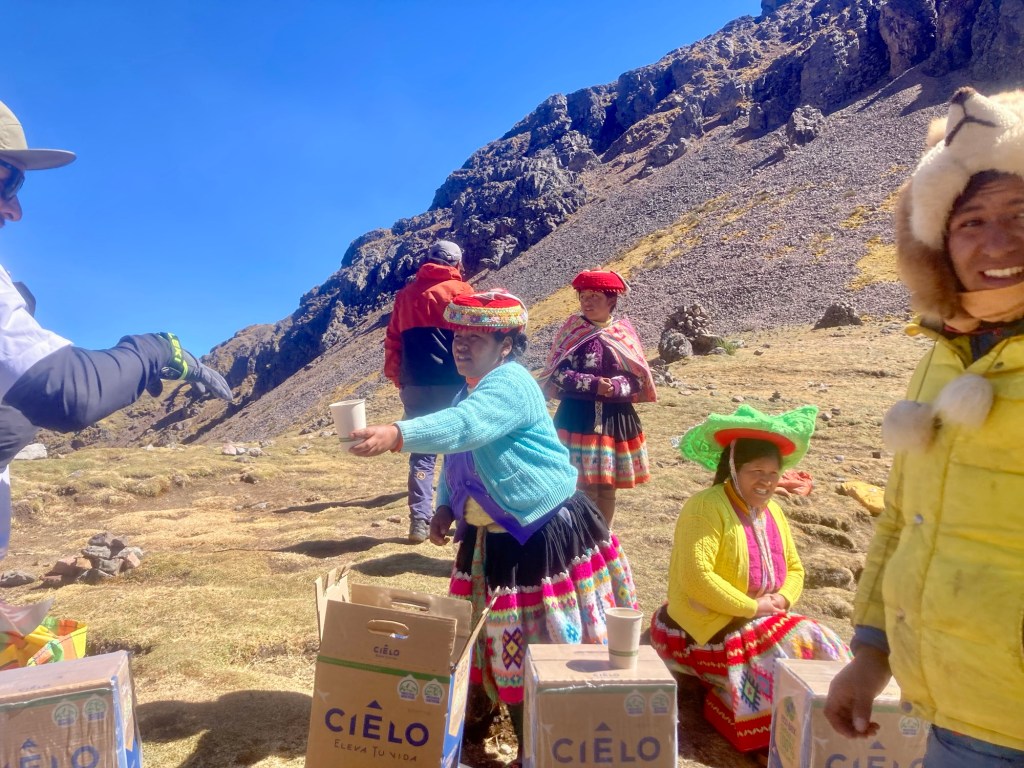
We finally arrived to the top and topped off our bottles at the water station.
Ipsaijasa water station

We descended for what seemed like forever. Now the 30k and 13k runners were passing us and we would step aside to let them go by, breaking our momentum. Although I had been waiting for this moment of lengthy downhill, I was starting to get tired and wasn’t moving as quickly and effortlessly as I had pictured I would when envisioning my finish. I looked at my watch to see we were at 52 miles and after all of that downhill, I couldn’t believe there was still over 10 miles to go. 
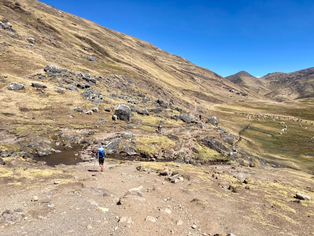
Yuch leading the descent
You can never have too many llama pics…

Although I had been preaching verbally (and also in my head) the importance of staying optimistic, the realization of the remaining distance started to chip away at me and my optimism. How could we be on the “home stretch” and still have so much distance to go? The truth was that only I had given myself that expectation and no one else. 

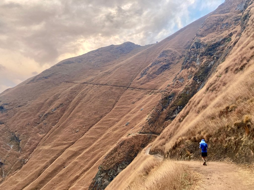
It probably took about 3 hours to do the last 10 miles.  Although the course profile makes it look all downhill, it sure didn’t feel that way. These last miles were most comparable to a Tor descent into a lifebase; never ending and soul sucking. As we got closer to the finish, I continued to peek around each corner looking for a glimmer of Ollantaytambo, but all I could see was a never ending single track trail rounding the corner – same as the last time I looked. 

Yuch and I split up and regrouped a couple of times. Once he stopped to use the bathroom and I walked purposely slowly so he could catch up. The second time he fell behind even though we were both walking. There were times I wanted to start running and he maintained that he couldn’t, that he was no longer physically able to. I knew he was having a hard time but felt like I needed to go my own pace and give him his space. We regrouped at the next water station. 
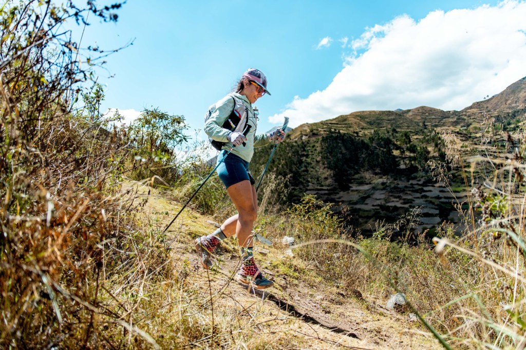
Running solo. Are we there yet?

I stayed true to what I had said before. I wasn’t doing this race to compete, but for the adventure and a big part of the adventure was the shared aspect. I wanted to finish together. However, we had 3 miles left and we could either walk the last 3 miles and it take an hour or more, or we could try and run and finish sooner. Yuch agreed that it was a better option to not prolong the torture, and mustered up every little last bit of strength that he had to run those last miles. 

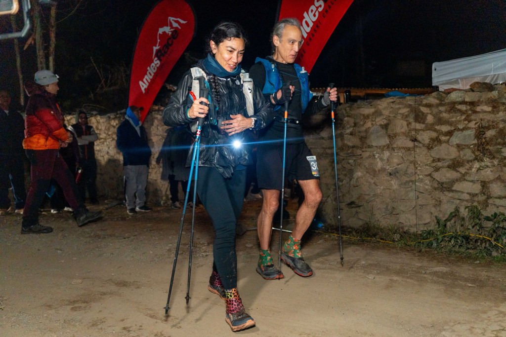
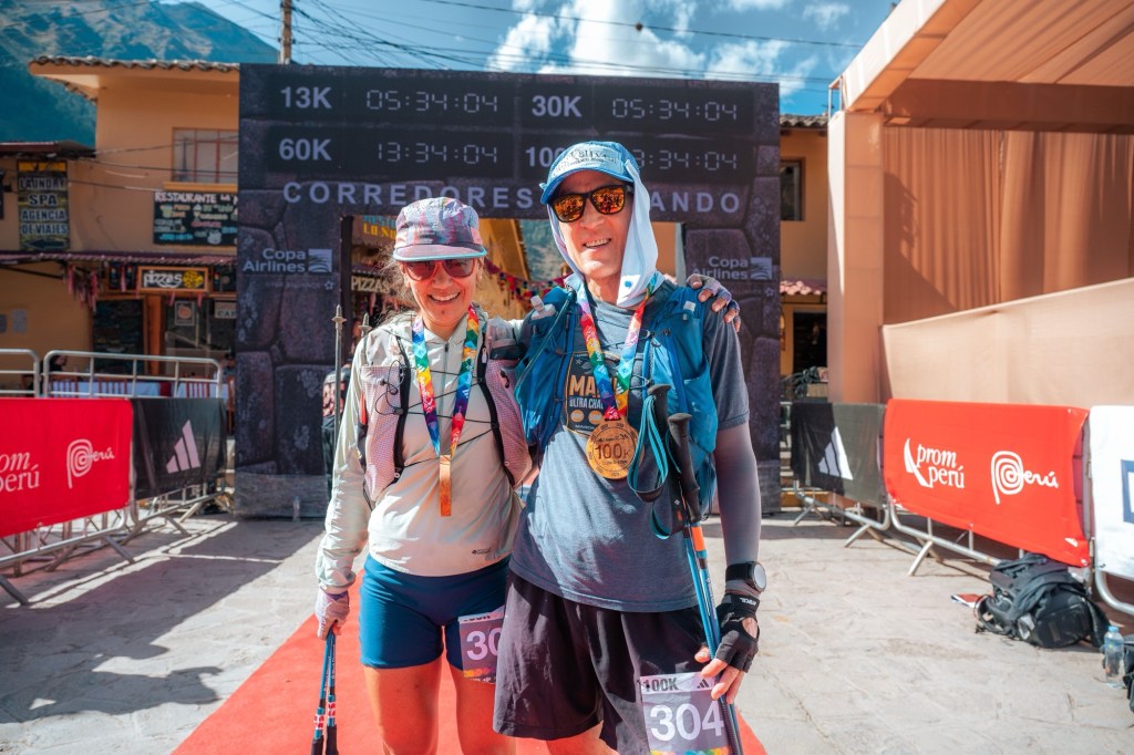
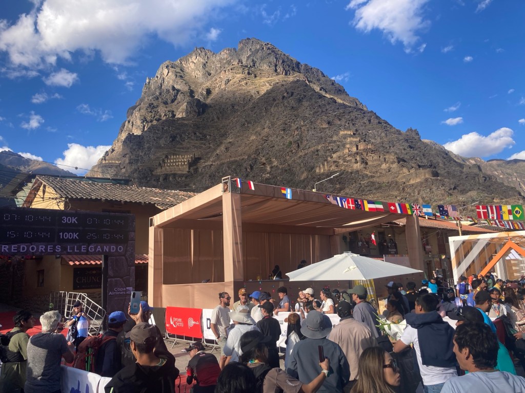
Arriving to Ollantaytambo, spectators lined the cobblestone streets cheering loudly. Although the finish reminded me of running into Courmayeur at the end of the Tor, this time we were finishing at a decent hour. Someone yelled out “los estados unidos!” and I wondered how they knew that, but we kept on moving focusing on careful foot placement on the uneven cobblestone ground beneath us. We crossed the finish line together at 2:34 pm, with a finish time of 23:34. The cutoff for the race is 26 hours. 
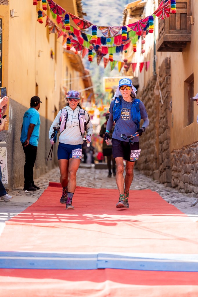
Red carpet finish line
Finish
It’s not every day that you get to cross a finish line with Incan ruins in the background!

After finishing, our first priority was getting back to our Airbnb (literally around the corner), showering, and taking all of our dirty clothes to the 2-hour laundromat. We would be heading back to Cusco the next morning and in addition to our race clothes, had accumulated quite a bit of dirty laundry. Yuch’s body had completely shut down and after his shower he climbed straight into his bed and under his covers. I dropped our clothes off at the laundry and headed back to the finish line. 100k runners would still be trickling in until the cutoff at 5 pm. 

The 101k racers were completely outnumbered by all the other race distances so it was difficult for me to identify them. I identified a photographer that I had seen at the 101k start and asked him if he knew where I had placed in the 101k women’s field (all 4 of them). After telling him my last name, he said he was pretty sure I got second place. Although I hadn’t been necessarily competing, this surprised me as I didn’t remember another 101k female passing us. However, we had been moving pretty slowly at the end so I admitted it could have been likely. I wondered if and when they were going to have a women’s 101k podium ceremony. I sat down and pulled out my phone looking for a tracking website. I had been the first female in the 101k.

I couldn’t hold out to the 5 pm cutoff because the sun was getting low and I was getting cold. I never saw another female finisher come in so in the end, I headed back to the Airbnb. Yuch and I went back to the same vegan restaurant, Ashka, for dinner that night and ordering the vegan platter; a platter of vegan meats, roasted potatoes, chocló, and veggies. 

I later learned that there were only two female finishers, the second arriving only 25 minutes after me. If Yuch and I hadn’t decided to run those last 3 miles, she would have definitely passed us. I felt a little sad that there was no 101k female podium ceremony. All the other distance podiums were celebrated with the winners receiving awards. I wasn’t upset because I thought I deserved anything or necessarily ran a “fast” or “good” race. I just felt it was a little strange to not be acknowledged. Plus, I felt very proud as a half Peruvian female to have won even if there was only one other competitor. 

I absolutely loved this race and my time in Ollantaytambo and Peru more generally. It makes me sad that everyone in the ultrarunning community is so focused on two races: Western States and UTMB, and all the qualifying races in between to get you there. The Andes 101k was hands down one of the most incredible races I’ve ever done. It is beautiful and challenging, especially with a 26 hour cutoff for what feels like the difficulty of a 100-mile race. I love the history of the race and that the local indigenous Peruvian community volunteer at the aid stations. I thought the race was very well organized and I always felt safe. I can’t say I loved the 3 pm start but in the end I probably spent an even amount of time in the light and in the dark. I hope this blog entry inspires at least one person to sign up for this incredible race! 

Choquequirao – 8.9.26

Everyone has heard of Machu Pichu. It is THE spot to visit when you are in Peru, and having gone there myself in 2018 I can attest that it is a magical place well worth visiting in your lifetime. But most people have not heard of Choquequirao, an extensive complex of Incan ruins high up in the Vilcambamba mountain range overlooking the Apurimac river canyon. 

Choquequirao is known as the “sister ruins” to Machu Pichu. While Machu Pichu was built by and for the Incan ruler Pachacutec, it is thought that Choquequirao was built for his son Túpac Inca Yupanqui in attempt to outdo his father. 

Probably the biggest reason that you haven’t heard of Choquequirao is that it is very difficult to get to. Therefore it receives far less visitors than Machu Pichu. Currently the only way to get to Choquequirao is by foot. It involves a demanding multi-day trek – 24 miles total with approximately 12-13,000 ft of elevation gain. Most people complete the trip by doing chunks at a time and staying in villages along the way. Keep in mind these numbers only apply if you are lucky enough to get a ride to and from the trailhead at Capuliyoc, in the small town of Cachora. Additionally, these stats do not include any mileage and elevation that you accumulate inside the park itself, which spans about 10 square kilometers. In a nutshell, the journey to Choquequirao is not only physically demanding but also logistically challenging. This is how we did it in one day. 

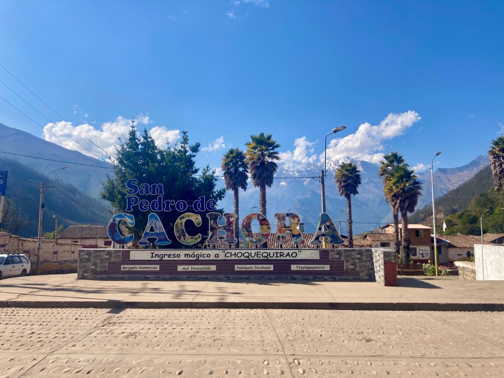
The first logistical hurdle is getting from Cusco to Cachora. Yuch had initially rented a car which was pretty cheap and seemed to make the most sense. However, as the day approached the anxiety regarding road conditions and car insurance (and lack of car insurance on off-road trails) was unsettling enough to prompt us to pivot. He cancelled the car reservation and instead booked a driver. 

The dry season is the peak tourist season and many locals get most of their work by driving tourists around. Our driver would be pulling an 8+ hour day each way, since he had to leave from his home in Compone which is west of Cusco, pick us up in Cusco, drive us to Cachora (4ish hours), and then drive back. The cost for there and back was 760 soles – thats about $258 for let’s say 16 hours minimum, approximately $16/hr. To us, it was worth it to not have to deal with driving. We got 1000 soles from the ATM in Cusco before departing thinking we would have more than enough for our trip to a place that likely does not have ATMs.  

On the drive to Cachora we got the chance to practice our Spanish with our driver Rolando. He was super nice and forgiving with our Spanish. The drive was smooth and the roads all fairly easy to navigate, nothing that a rental car couldn’t handle. The only caveat is that Peruvians do a lot of passing, some of which can be slightly aggressive and unsettling if you’re a back seat driver. However, we made good time to Cachora in 4 hours which I’m not sure we could have managed on our own. On the drive, Rolando mentioned how he got good money from his job, that his passengers were often very pleased and left him good tips. Yuch and I quietly absorbed the fact that we had not factored in a tip when getting our last ATM withdrawal. 

On the road to Cachora

Rolando dropped us off at our Airbnb in Cachora. We asked him if we should pay him half now and the other half later, to which he responded he would take the full amount now. I guess that wasn’t so strange to pay upfront, but then Yuch asked if he should tip now or later to which Rolando again said he would take the tip now. Yuch gave him more of our precious cash and I began to feel slightly apprehensive about our quickly diminishing “efectivo”. 

Before Rolando took off he told us he would look into a taxi the following morning. This presented Hurdle #2: getting a taxi at 3:30 in the morning from our Airbnb to the trailhead at Capuliyoc, and getting a taxi back to our Airbnb at who-knows-what time at night. We had also read that Elizabeth, our host, had been very helpful in arranging these taxis for previous tourists. Rolando and Elizabeth spoke briefly about the taxi, but we didn’t think much of it. As long as we had a taxi and we didn’t have to run the extra mileage early in the morning and late at night, we were happy.

The Wooden House has a similar structure as a hostel. We had our own room with two beds, but the bathrooms, showers, and kitchen were in the main house. Between the main house and the rooms is a nice front lawn with multiple covered patios and a nice garden with “tomate de árbol” and “aguaymonto” aka golden berry. The sign in front of the hostel notes that they have “hot showers”, which was a welcoming sign! Thus far, our previous “hot” showers had meant lukewarm. It would be nice to be able to get a hot shower after our all-day adventure the following day! 

Elizabeth arranged the taxi to pick us up at 3:30 am the next morning. She also said it would pick us up later that night and that we could just text her as we got closer to Capuliyoc. We honestly didn’t know if we would be getting back at 8 pm, 10 pm, or midnight! We just couldn’t imagine how long this run would take. 

Things were falling into place and we were feeling good. We bought water and some other small provisions, again using more of our cash because these small towns don’t take credit cards. We went to the main restaurant in town that Elizabeth recommended, Cachora Bar Restaurant, which advertised a “menu turístico” and that they took Visa. Perfect! The tourist menu included a starter and entree for 30 soles. We both ordered the palta relleno (stuffed avocado) to start followed by a vegetarian omelet over rice and potatoes.

After eating our delicious starter (in Peru they are much more generous with avocado portions than in the United States), Yuch received a text from Rolando. He wanted to let us know that he arranged for a taxi to pick us up the next morning. Oops. We let him know that Elizabeth had already arranged one and that we were good to go. At first he responded with a thumbs up. Then moments later he proceeded to send an additional message asking how much we were paying. We began to get an apprehensive feeling that there might be some competition happening between him and Elizabeth and told him we didn’t know the cost, but we no longer needed a ride to the trailhead from him. Again he continued to send us messages that we couldn’t quite understand, but we knew we’re not exactly positive/conducive to a good nights sleep. Our entrees arrived and we began to eat, no longer feeling content about our upcoming adventure. We were confused but also worried because Rolando was our ride back to Cusco and we didn’t want to get on his bad side. We had after all already prepaid and pre tipped! We finally ended the conversation saying we didn’t need a ride, we appreciated his help, and that we could no longer discuss the situation because we were going to bed. 

When it came time to pay the bill, we asked if we could pay with our credit card and the woman shook her head with a look on her face telling us “you think we take plastic in a place like this??” We dispensed more of our draining pile of cash. 

On the walk back to the Airbnb I began to wonder about the price of the taxi. We hadn’t really thought about it but Rolando bringing it up made me wonder if we would even have enough cash to get to and from the trailhead. If we didn’t have enough, we’d have to run a ton of extra mileage. We told Elizabeth about the conversation with Rolando and how we didn’t understand his intentions. She looked at the trail of messages and agreed that the whole thing was annoying and that it made more sense for her taxi driver, who knows the area, to drive us. She called and confirmed with the taxi driver that it would be 50 soles each way. Again, this did not include tip. We had just enough money, but including the 70 sole Choquequirao entrance fee plus bottled water we would need to buy on the trail, it was going to very tight. 

The next morning we woke up at 2:30 am. Elizabeth had left us a thermos of hot water for coffee. We made cowboy coffee, piled our fully-loaded packs on us, and departed from the Airbnb. The drive to the trailhead took about 40 minutes. Our driver was very nice. We paid him 55 soles and told him we’d see him later that night. 

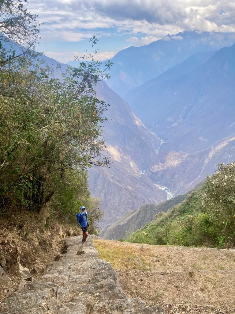
We departed from Capuliyoc at approximately 4:18 am. We had our down jackets on but surprisingly it wasn’t too cold at 9800 ft. The trail descends about 5,000 ft in the first 6.5 miles to the river. We moved efficiently. We had agreed that we needed to be as efficient as possible to maximize daylight. No dillydallying like we had in the Colca Canyon. As we descended, it got warmer even though it was still dark. We took our jackets off probably after the first mile and I would already be sweating pretty good as we approached the Apurímac river at 4800 ft. 

The first village before the Apurimac is Chiquisca, 4.8 miles in. We noted that it took us an hour and twenty minutes to get there which would be helpful to estimate how long that final ascent would take on our return. At the bridge, we stopped to put on bug repellent. The bugs were swarming anytime we stopped, but thankfully we had read about them in someone else’s account and had come prepared. 

Crossing the Apurimac. Time to climb!
View of the Apurimac river

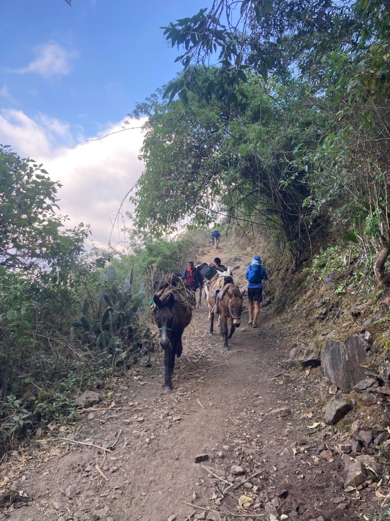
By the time we crossed the river and began our ascent, the sun was starting to rise. From here it would be about 5.5 miles to Choquequirao, mostly climbing. I hiked briskly, with Yuch leading the way. I was able to hike faster than at the Colca Canyon while keeping a similar heart rate (140-150s). I felt like my body was finally adjusting to the altitude. I was surprised with the number of people on the trail, some of which did not look like they were going to make it. Most of them had started from the river and were doing a partial hike that day. Some had burros with them and were descending. I’m guessing the burros bring supplies to the villages along the trail.

Burros on the trail

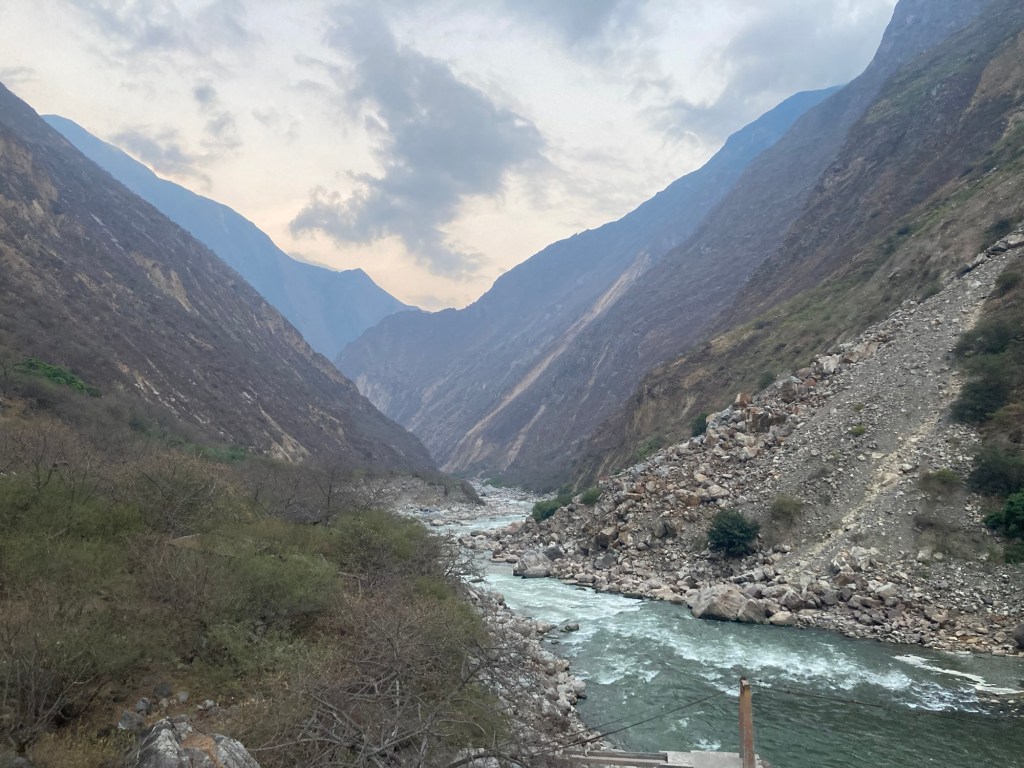
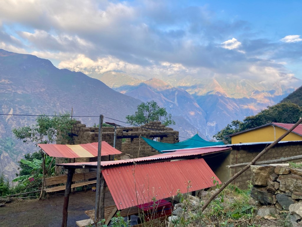
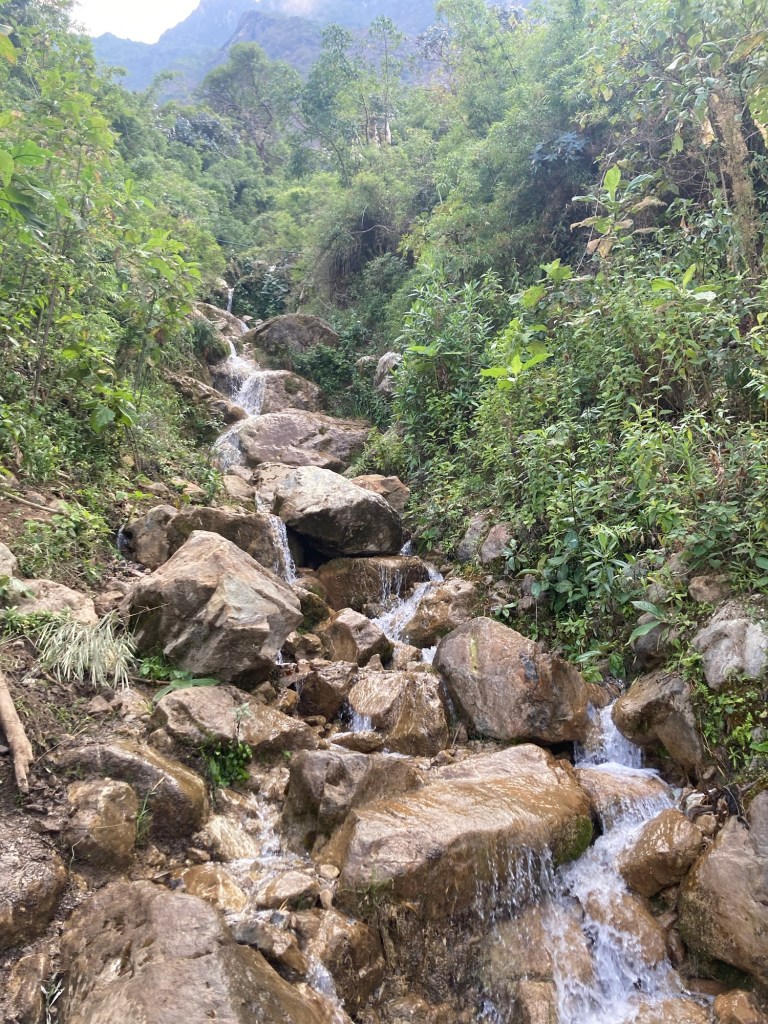
The first village on the ascent is Santa Rosa Baja, followed by Santa Rosa Alta, and finally Marampata, probably the place most commonly stayed at by trekkers. Halfway between Santa Rosa Alta and Marampata we came across the Uchuhuerta waterfall. We filtered water and realized that in addition to another upcoming waterfall closer to Choquequirao, we probably wouldn’t need to buy any bottled water! 

Santa Rosa Alta
Uchuhuerta waterfall
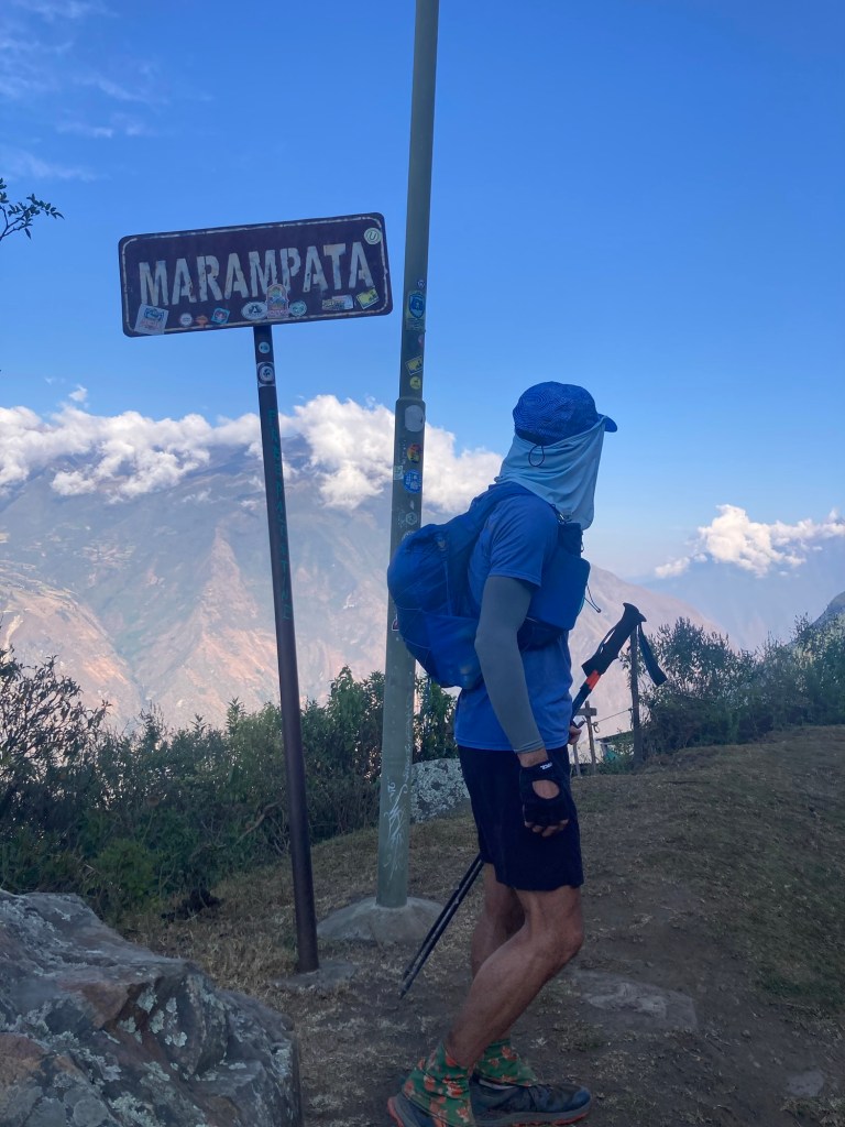
Arriving to Marampata
Departing Marampata

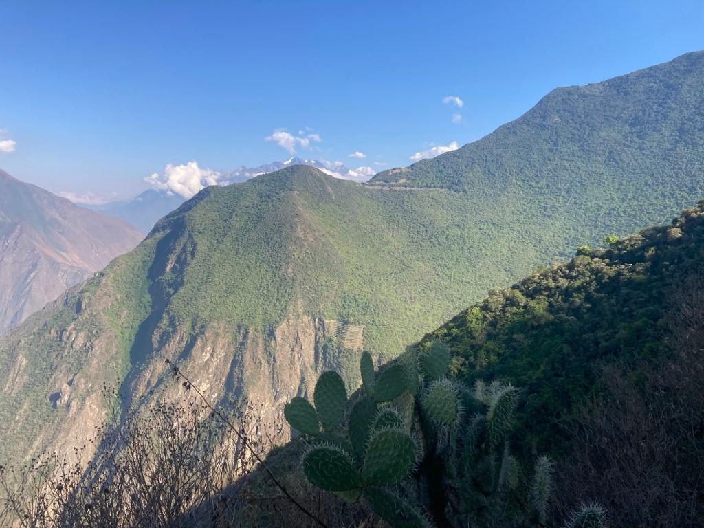
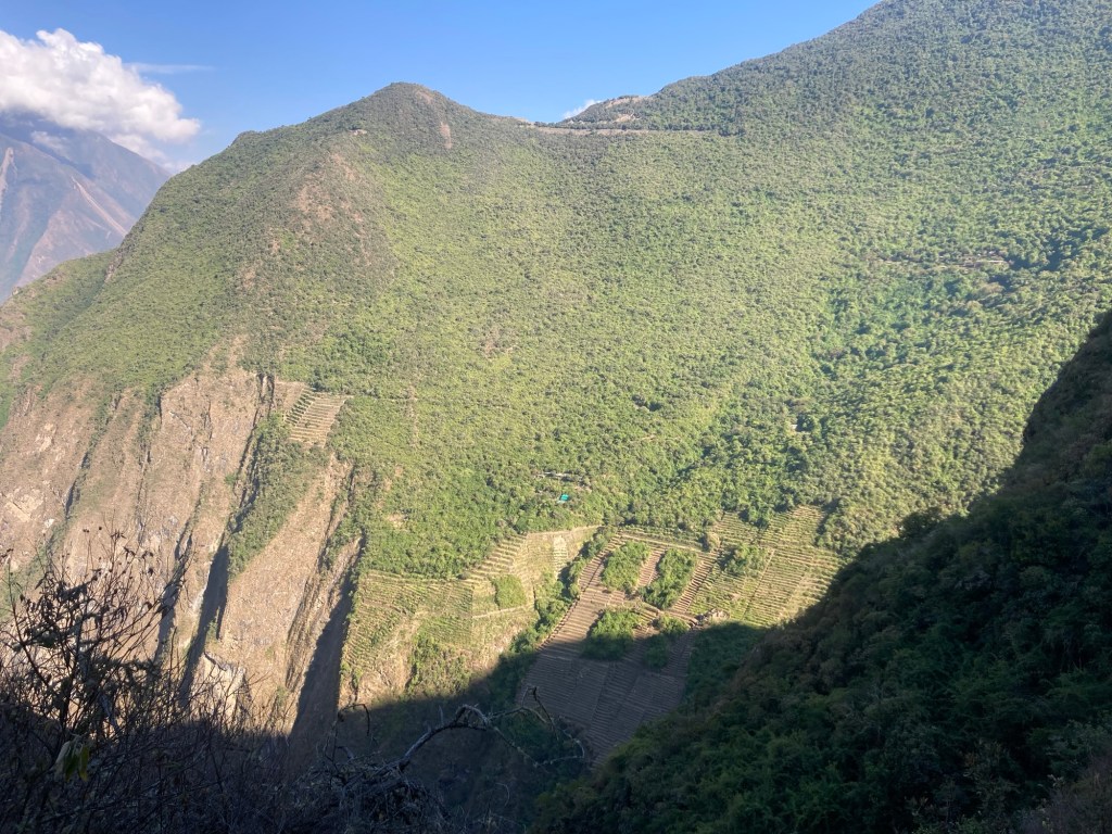
The trail after Marampata is nice flowy single track with a little bit of up and down. It was here that we caught our first glance of the terraces at Choquequirao. It was so beautiful and we stood in awe as if we were the first to discover these ruins!

First view of Choquequirao. Zoom in to see the terraces!

At the main entrance of Choquequirao we encountered a sign but no one there to take our money. We really had no idea when and where we might have to pay our admission fee. 

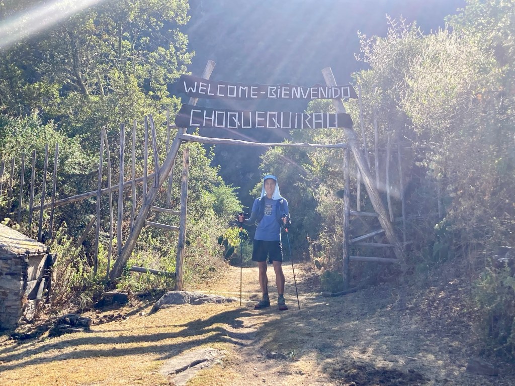
Choquequirao entrance
More terraces coming into view

We continued on to the Paqchoyc waterfall but didn’t need to fill up quite yet so continued on. 

Panchoyc waterfall

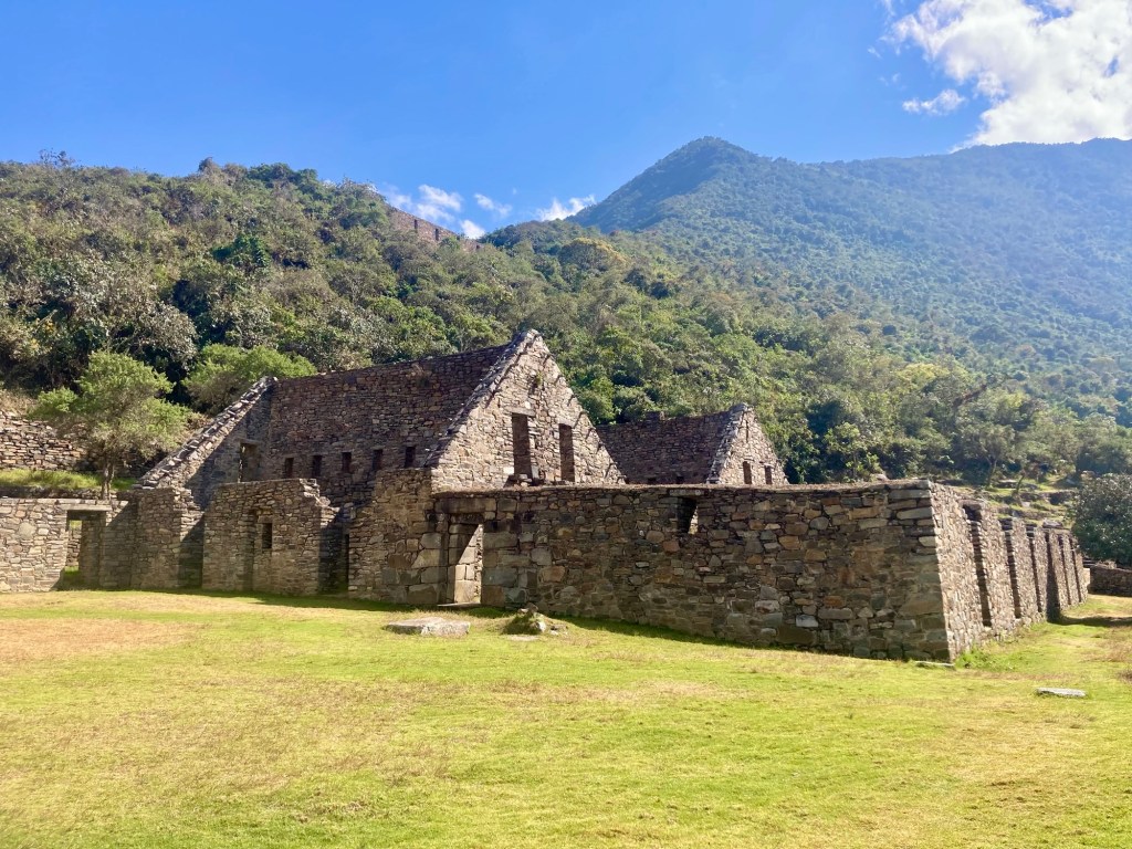
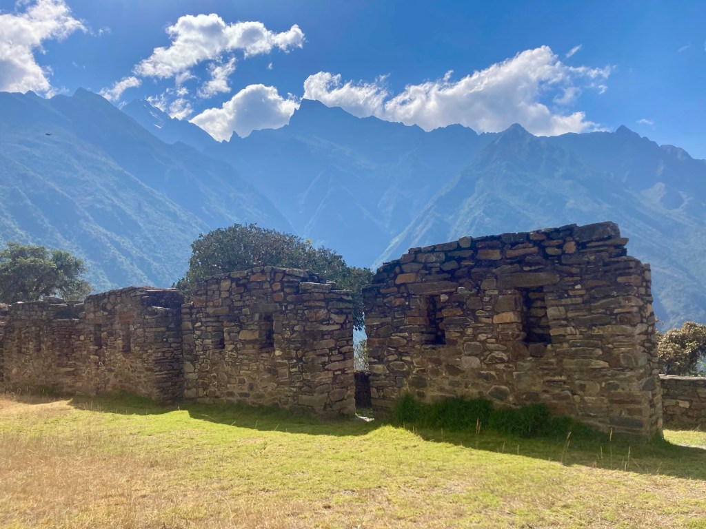
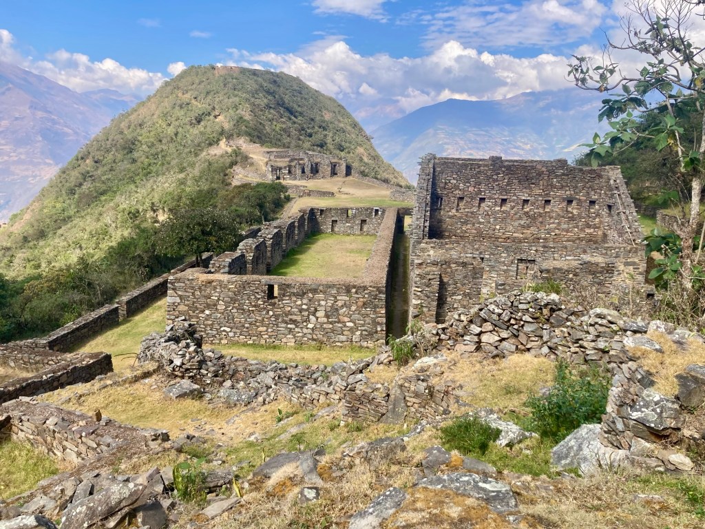
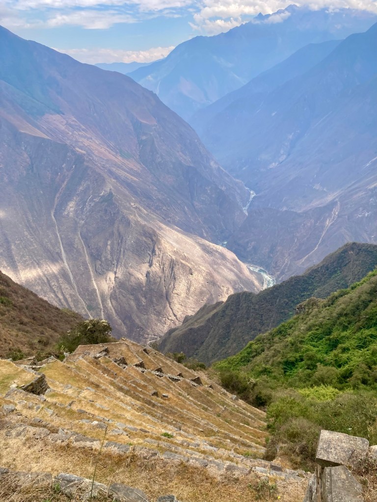
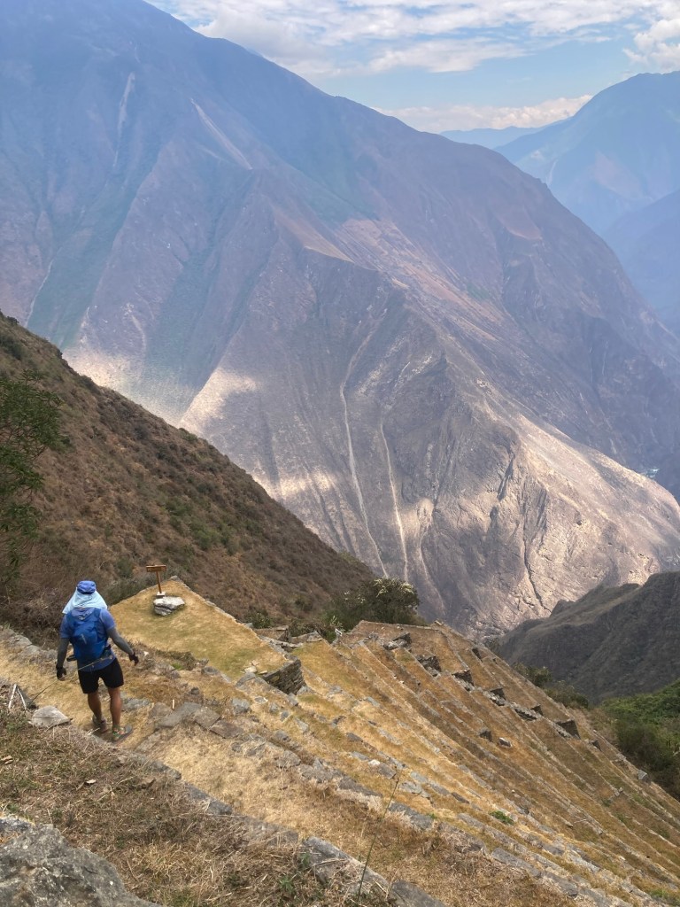
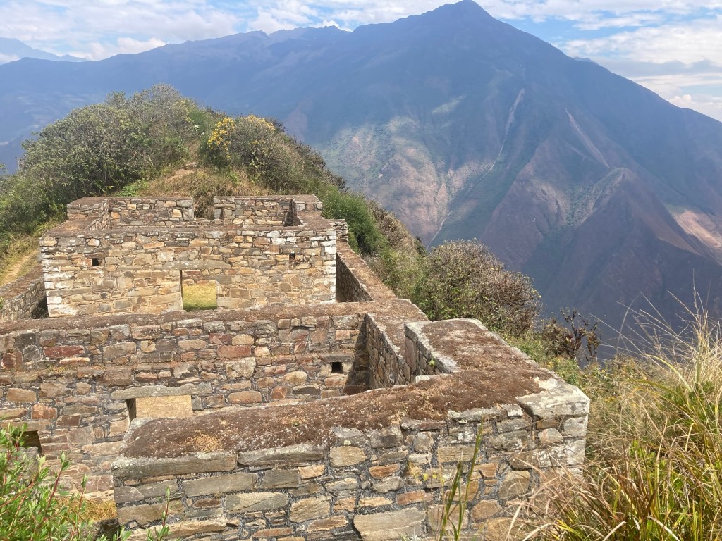
Yuch had plotted a 10k loop around the park starting at the sacred terraces. From there we went to the main plaza, which has the most “house-like” structure with rooms and alcoves. We explored the qolcas (warehouses for storage), and then continued up to the Hanan temple. The Hanan temple is the highest part and has incredible views of the valley and river below. Walking back down from Hanan we also had amazing views of the Ushnu, the ceremonial platform at the top of a hill where sacrifices often took place. But our next stop before the Ushnu was the llama terraces! 

Terrace with Ushnu in background
View from above the terraces
Yuch at the Main Plaza
Main plaza
Main plaza
Main plaza
Main plaza with Ushnu in backdrop
View from Hanan temple

We followed the signs to the llama terraces which took us down quite a bit. When we finally got to what looked like the terraces, we ran into three guys sitting and relaxing on the top terrace. It turns out they too were runners and one of them would be running the Andes 100k! We asked “are we at the llama terraces?” To which one of them pointed down. “Down there”, he said. There were two ways down: the steps or the single track. We opted to take the steps stating we would take the single track back. WOW! I’ve never been down so many steps in my life, and steep steps they were! I joked to Yuch that they were just like the Dipsea steps and soon I’d be doing two-at-a-time. 

Making our way down to the llama terraces
Looking back up. Still no llamas!
Looking down. Almost there!

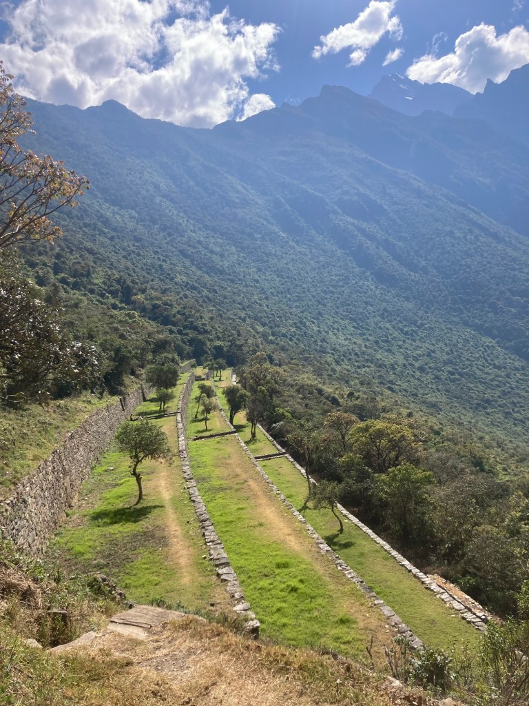
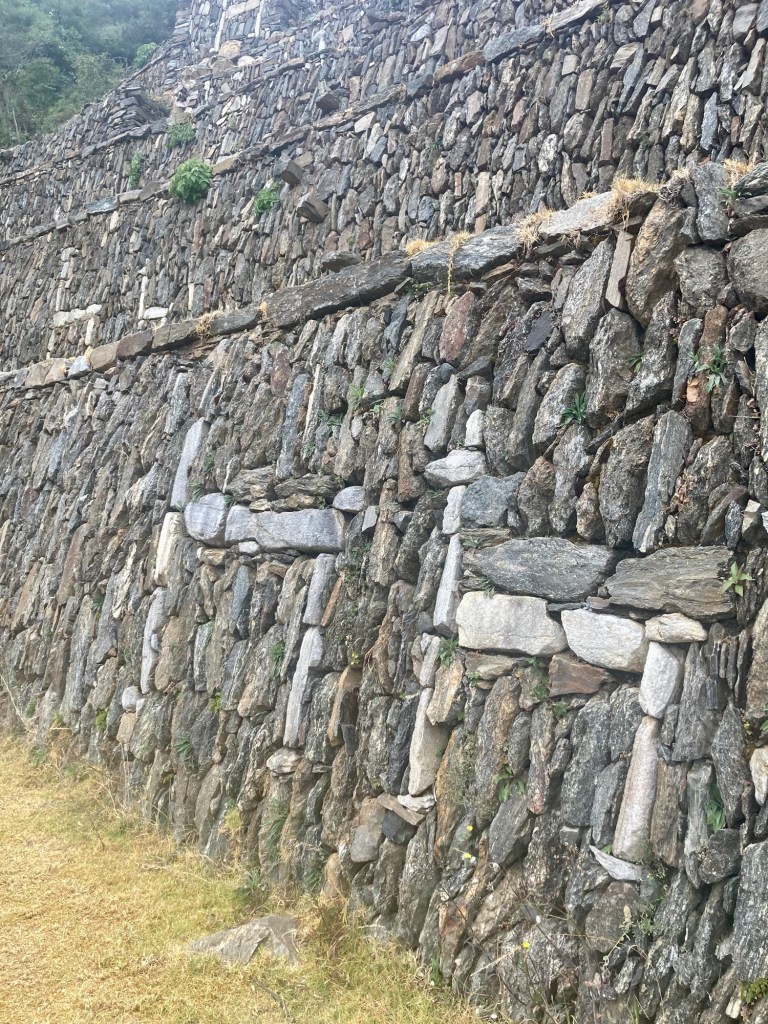
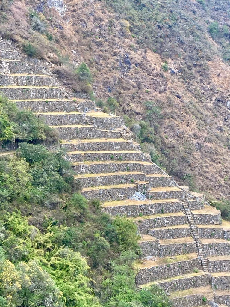
We finally got so far down that we could no longer see the men up above. We had reached the llama terraces! The llama was a sacred animal to the Incans, as they were used for transportation, wool, and sacrifices to the gods. It is speculated that these white granite llamas artistically laid into the terraces may also have had spiritual significance and perhaps were placed as an offering to the gods to promote agricultural fertility and prosperity. It is difficult to see the enormity of the terraces when you are close up. Thankfully there is a small trail that leads to a lookout point. It is totally worth the very small detour to see all the llamas from a distance!

Llamas up close
Llama terraces from lookout
Zoom in on llama terraces

What goes down must go up, and now it was time to climb back up. This time we took the trail. The last big stop at Choquequirao would be the Ushnu, the ceremonial platform. Yuch commented that a lot of blood had been shed on that hill. I lay myself down in the middle and imagined what it would be like to be a human sacrifice. 

View of main complex from Ushnu
Ushnu sacrifice

At this point it was noon. It had been 3 hours since we had been in the park. If we left now we estimated we’d be back by sunset! It had taken us approximately 5 hours to get to the park and we estimated a similar amount back. But Yuch had a few more places in the park that he wanted to visit: the house of the priest, Paraqtepata, and the Casa de la Caída del Agua. The house of the priest was easy, since it was on the way.

House of the priest

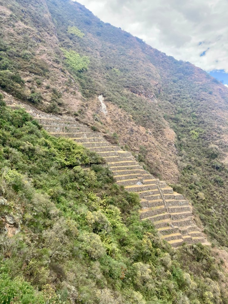
The latter two definitely added an additional hour on to the trip and a lot more vert. From the  Casa de la Caída del Agua you can (obviously) see the Paqchoyc waterfall across the way but the only other views are of the trail itself, in addition to Marampata. Other than these views, you will find a zillion more terraces with steep steps. At this point we opted not to explore all the steps below. We had gotten sufficient vert! 

Paqchoyc waterfall from Casa de la Caída del Agua
Endless terraces

We departed Choquequirao at about 1 pm.  We had spent 4 total hours in the park and covered approximately 2k feet of vert. I had been eating along the way, but was completely out of water. I was ready to head back and fill up at the waterfall. 

Leaving the park, we both agreed that we could have skipped the last two stops. Since this was likely a “once-in-a-lifetime” experience, we were glad that we saw the entire park. However, if I were to recommend to anyone else visiting I would say: you are not going to miss out by skipping them. The most impressive thing about those terraces at Paraqtepata and Casa de la Caída del Agua is not being there itself, but actually seeing the views of them from the trail. 

We filled up all our soft flasks (I brought four 500 mL flasks and Yuch brought two + his bladder), and continued on hoping to reach Capuliyoc by an estimate of 6:40 pm. 

Elizabeth had asked us to text her at all the villages along the way so she could get a good idea of when to send the taxi driver. We paid 10 soles for Wifi at Marampata and gave her the estimate of 6:40 pm. 

As we descended towards the river, I observed Yuch going into “last 10k of a race pace”. He was moving very quickly down the steep descent. I could tell he was motivated to make good time. I was in agreement and followed closely behind. We ran into hikers on their way up who cheered us on. I guess they’re not used to seeing runners on this trail. A man named Hugo stopped and asked us if we were runners and told us he was running the Andes 30k. We took a picture with him and continued on. 

Our goal to Chiquiska had been about 4 pm. Elizabeth had told us most hikers take about 3 hours from there to Capuliyoc. We thought we could do it in 2.5 hours. As we continued descending towards the river Yuch looked over at the zigzagging trailhead across the way and commented that he didn’t think there was any way we’d get there by 4 pm. There was too much descent remaining followed by a bunch of ascent. I told him to keep his eyes on the prize. 

We got to Chiquiska around 4:15 pm. We again had to pay to use the Wifi. This time it was 5 soles. Good thing we had not needed to purchase any bottled water! We stuck with the estimate of 6:40 pm to Capuliyoc. 

 It had started to rain lightly at this point, but it was still warm. I had been pleased with the weather the whole day. It was partly cloudy which made for perfect weather. With clear skies at that elevation, the sun can really beat you down. 

The ascent to Capuliyoc is much more runnable than the ascent to Choquequirao. Although there are steep sections, they are broken up with flat runnable parts. We took advantage of the runnable parts so we didn’t have to push ourselves too much on the climbs. I was surprised at how many hikers we saw descending at this time – late in the afternoon. I figured they would probably stay the night at Chiquiska. 

The scenery was beautiful, very different than the other side of the river. We hadn’t seen  it before because it had been completely dark on our way out.

Yuch taking in the view
Final ascent to Capuliyoc
Looking back at the trail behind us

When we could finally see the zigzagging single track ascending to “the top”, Yuch really physically and psychologically slowed down. I could hear a lot of noises behind me. To him, the sight of that ascent suggested “a long way to go”. To me, I found it very motivating to know how close we were to the top. I pulled ahead and kept hiking briskly hoping he would hang on. The sun was getting very low and I wanted to see how far we could get before taking out our lights. 

Yuch was not keeping up with me and in fact was pulling away. He shouted to me that he was getting really weak and needed to stop and take a break. We are SO close, I thought! I knew he had been eating and drinking well along the way, but he hadn’t gotten very much – if any – sleep the night before, so it was possible that he was more sleep deprived than anything. I told him, ok – let’s take a break. We’ll get out our lights and eat some sugar. We put our light-belts on and he ate some dates. We continued on.

We let out a huge sigh of relief when we reached the top. It wasn’t too far from the trailhead now and it was pretty flat. We wondered if someone was finally going to ask for our money, but no one ever did. We arrived at the trailhead at about 6:35 pm to find our driver already there waiting for us. 

We paid our driver 70 soles this time. We were grateful for his service and we were now 140 soles “richer” since we never had to pay the park entrance fee. After all our stress about not having enough cash, everything had worked out!

Returning to the Wooden House, it started to pour. We had finished just in time! The last hurdle that we didn’t know would be a hurdle was taking our showers. I had been looking forward to the advertised hot showers all day! But, as was the case with all our previous showers…this one was luke warm at best. I squealed and screeched as I did my best to clean all the parts, but after all was said and done, we were very glad to be clean and to put on warm clothes. 
We got into our beds and listened to the rain pouring down outside, grateful to have successfully completed our journey. For me, dinner consisted of a Lucuma yogurt drink and a chocolate bar while Yuch snacked on nuts. 

The next morning, Elizabeth made us a traditional Peruvian breakfast of eggs, avocado, and bread. Rolando picked us up around 9:15 am. We had previously agreed on 10 am but we’re pleasantly surprised at the early arrival since we were ready to go. We apologized for any confusion about the taxi to which he responded “no te preocupes”. In the end, Yuch tipped him again for the second leg. For the next 24 hours or so we figured since we evaded the Choquequirao park fee, the least we could do is give it back to Peru in good tips. 

Final thoughts and tips on running Choquequirao:

  • Total distance ended up being 31 miles and 14,500 ft of gain. 7 of these miles were within the park itself.
  • Total time on trail: 14 hours, 14 minutes.
  • If you are an ultra runner, this can absolutely be done in one day! In fact, if you are an ultra runner you should absolutely put this on your bucket list. This adventure was MADE for trail runners. It would be difficult and inefficient to cover all of Choquequirao without running. 
  • Many Peruvians that we had told that we were going to do this in one day didn’t totally believe that we could. One person told us we wouldn’t have time to enjoy the park. In the end, I believe we spent more time in the park than anyone we saw that day. We observed people arriving after us who left earlier. 
  • If you are running this, you can filter all your water from the waterfalls and streams on trail (just probably don’t filter from the river)
  • Bring more cash than you think you will need! The tiny town of Cachora is not set up to take credit cards snd definitely does not have ATMs. Relieve yourself of any stress of not having enough cash. And remember that just to use WiFi will cost you some money! 

Choquequirao is probably one of Peru’s best kept secrets. The cable car to the park has now been approved but it will probably still be some time before people can visit Choquequirao without having to trek 24+ miles to do so. There are pros and cons to this. Some say that if tourists can easily access Choquequirao, it will reduce the numbers of tourists at Machu Pichu. However, building a cable car to Choquequirao would also mean that all the villages along the trail would lose the majority of their income. My opinion is that if you can, you should make this epic trek now. The challenging journey to and from Choquequirao will make it even that more rewarding! 

Colca Canyon, Peru – 8.5.26

Our Colca Canyon trip started in Arequipa where we stayed for 3 nights upon arrival to Peru. Arequipa is at 7,660 ft and therefore a great place to gradually acclimate before heading to Cabanaconde at 10,800 ft. Arequipa is a beautiful city worth spending a few days, but I may have to write about it elsewhere as there is so much to say about it!

Most people who come to the Colca Canyon do a 2 or 3 day trek, splitting the route into much more manageable pieces – staying in rustic lodging in the canyon and enjoying the hot springs in Sangualle. Since our time was limited we wanted to run it in one day. Once you take into account travel to and from Cabanaconde, the entire trip is about 3 days.

Yuch is a great planner and booked our bus tickets to and from Cabanaconde in advance with the bus company Andalucía. Our bus to Cabanconde was scheduled to leave the bus terminal in Arequipa at 11:30 am and arrive in Cabanaconde by 4:50 pm. This would be our first lesson that Peru is not Switzerland. Busses rarely leave on time, arrive on time, and sometimes the bus just isn’t there period. Communication of delays is rare. As we attempted to depart the terminal just 10 minutes before departure time, we were alerted there was an additional tax we had to pay. Although we had gotten to the terminal way in advance with hours to spare, they waited until the very moment we were ready to board to alert us of this tax. We, along with a number of other tourists, rushed to the other end of the terminal to pay this tax which ended up being 2 soles per person. Finally we boarded our tour bus and were on our way. 

As soon as we boarded,we learned that there was no bathroom on the bus. I had just used one I n the terminal,  but Yuch really had to go. A fellow passenger comforted us that she had been assured there would be at least 5 stops along the way. That was good to know, but we had no idea when and where these stops would be. We held off on drinking water. 

It’s hard to stay hydrated in such a dry place at high altitude when you never know when and where the next bathroom might be. As a result I end up chronically dehydrated which is not great for acclimating to high altitude!

The tourist was right. We had at least 5 stops, but only 2 of which there were bathroom opportunities. The first stop was at a random stop where the bus sat for a very long time before I began to wonder – are we ever going to leave? Did the bus die? I soon realized we were at a gas station and that there was a bathroom opportunity! I asked the bus driver if I could use the bathroom to which he said “claro que si!” I alerted Yuch who had been holding it since the terminal and we happily used the free bathrooms along with a few other passengers.

We had several other hiccups in which we stopped at other random places along the road for no apparent reason. I continued to hold off on water not knowing what the future held. 

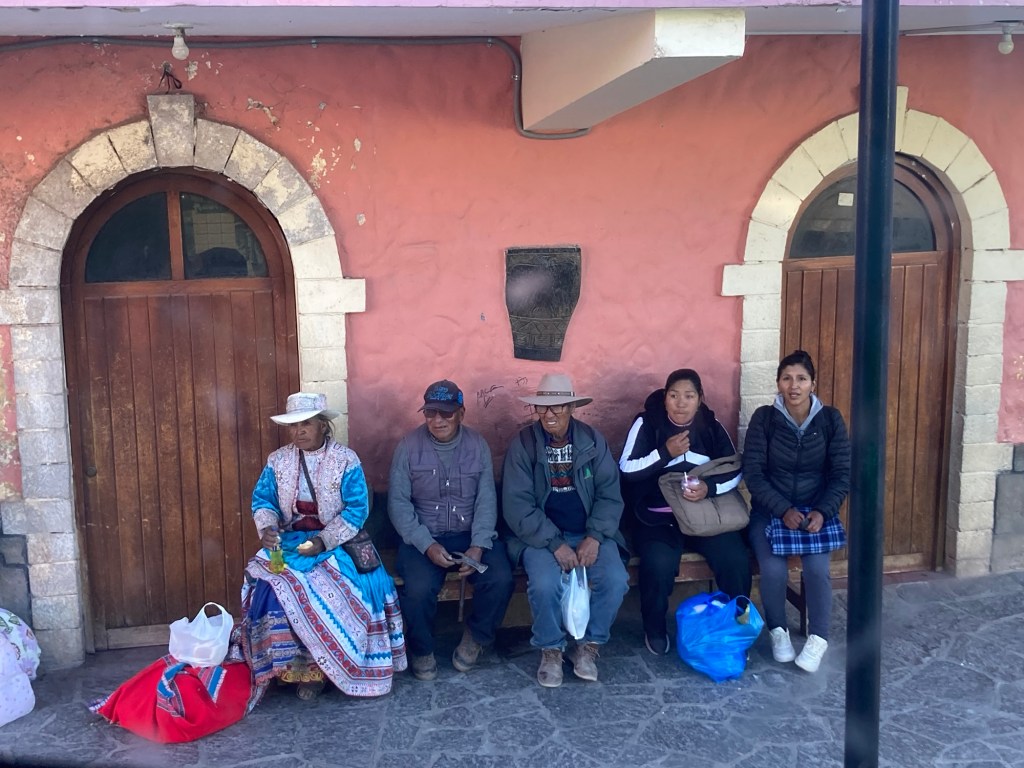
The drive to Cabanaconde is beautiful and you see a lot of vicuńa along the way. As I mentioned, there were definitely more than 5 stops; I would estimate 10-20.  Many of the rural people rely on these busses passing by to get from one village to the next, and as a result many stops were made to pick them up and drop them off, regardless of available space on the bus. Many of them are known as “cholitas” or “mamitas”, traditional Peruvian women wearing layers and layers of traditional Peruvian garb; colorful skirts, wool tights, blouses layered with sweaters and scarves, the same ubiquitous embroidered sombrero, and often a manta on their back packed to the brim with who-knows-what. Although these traditional Peruvians look like they are from the past, they have no problem embracing technology. I laughed at the sight of one cholita scrolling her Facebook feed on the bus. 

Peruvians at Chivay bus station

We arrived to Cabanaconde around 6:20 pm, about an hour and a half later than planned. The sun had set, so the mystery of the Colca Canyon would have to wait until the morning. We stayed at La Posada Del Conde Clasicó, a cheap but perfectly nice hotel with WiFi (a pleasant surprise in a remote place). We were also pleasantly surprised to find a cozy pizza place just down the street with a big wood burning stove, a cat curled up at the entrance, and a menu with a number of vegetarian options. Most of all, we were happy to be somewhere warm as Cabanaconde can get as low as 39 degrees in the winter. I had a slight headache that was likely due to the altitude but the lack of adequate hydration probably didn’t help. However the headache was not bad enough to take anything so I went to bed with the hopes that a new day (and coffee) would help eradicate it. 

We agreed on a 8 am departure on the trail. Although the sun rises at 6, breakfast (and coffee) would not be served until 7 am. Additionally, condors are most likely to be seen from 8-10 am. With the sunset at 5:30 pm, we figured we could be back by then even if we were moving at 2 mph. Breakfast consisted of instant coffee, fresh papaya juice, bread, avocado, eggs, and cheese. We were off to a good start on our fueling for the day! 

We took off at 8 am, with an 18 mile route plotted in the clockwise direction around the canyon. I read this was the preferred direction for this route with the reason being that you start on fresh legs with a steep descent, but end the loop on tired legs with a more manageable last ascent. 

Start of our run, heading clockwise
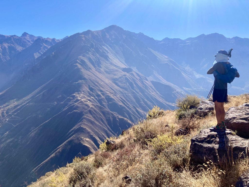
Yuch stopping at an unofficial mirador to view our upcoming trail across the way

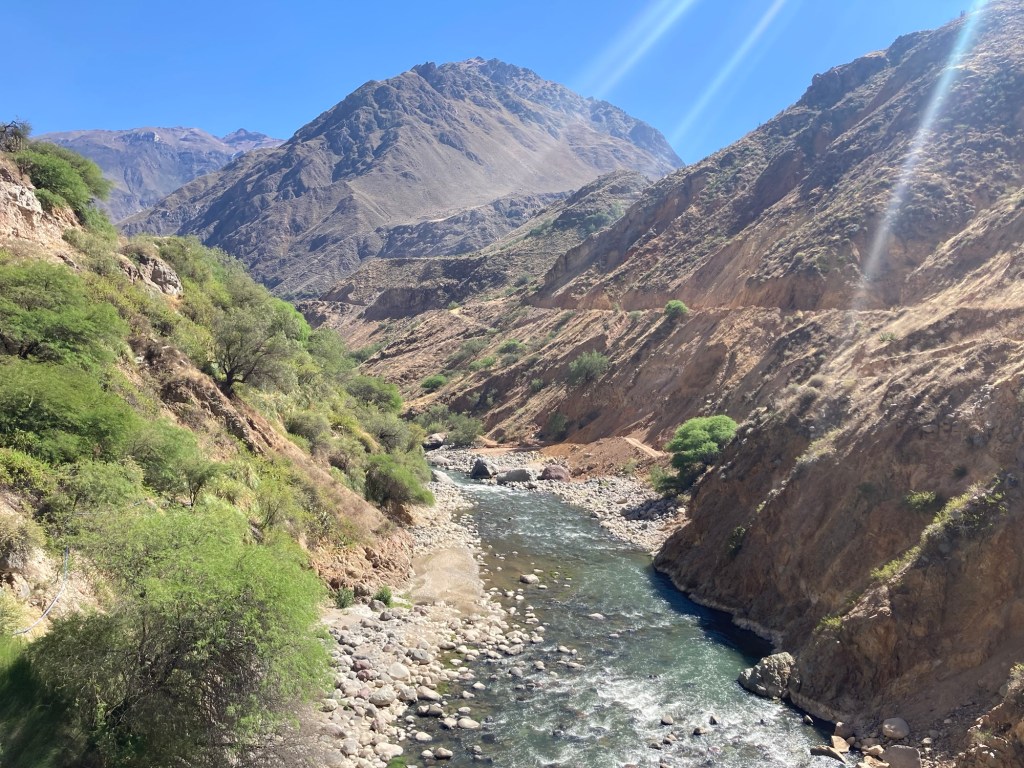
I was so excited to be setting foot on my first “trail run” in Peru and couldn’t stop smiling. I think Yuch felt the same. The descent down to the bottom of the canyon was super manageable. It started out mildly technical and we took our time as we warmed up, but soon enough we were flowing down a nice smooth single track trail along the side of the canyon. We stopped several times at the miradors to look for condors. We initially thought we might have seen some in the distance but were too slow to take out the binoculars. By the time we got the binoculars out, we were pretty sure we were just seeing some kind of hawk or falcon. It was getting hot. Cabanaconde gets to the 60s during the day, but the sun is so intense it feels much hotter. Plus we were descending to 7,000 ft.

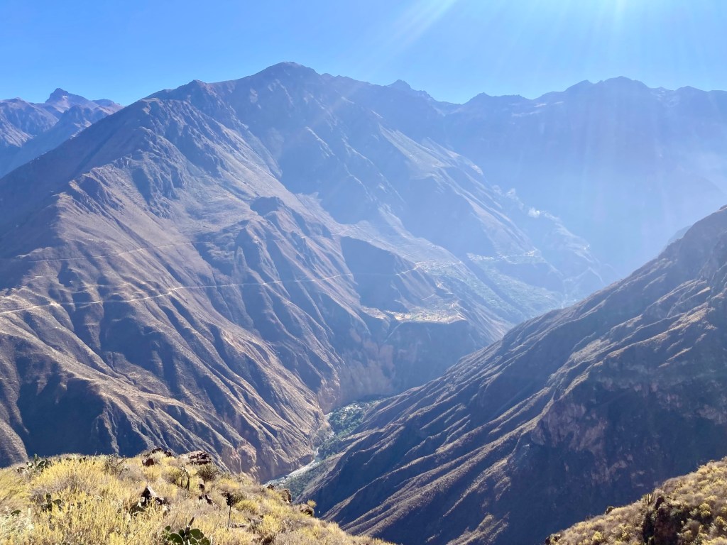
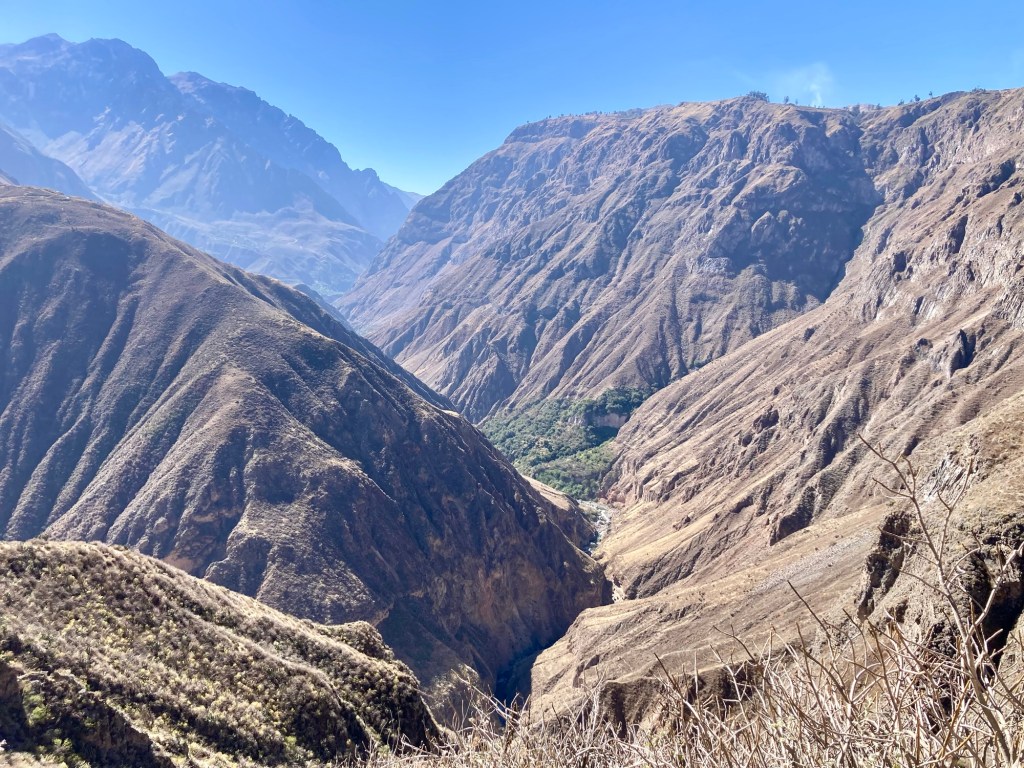
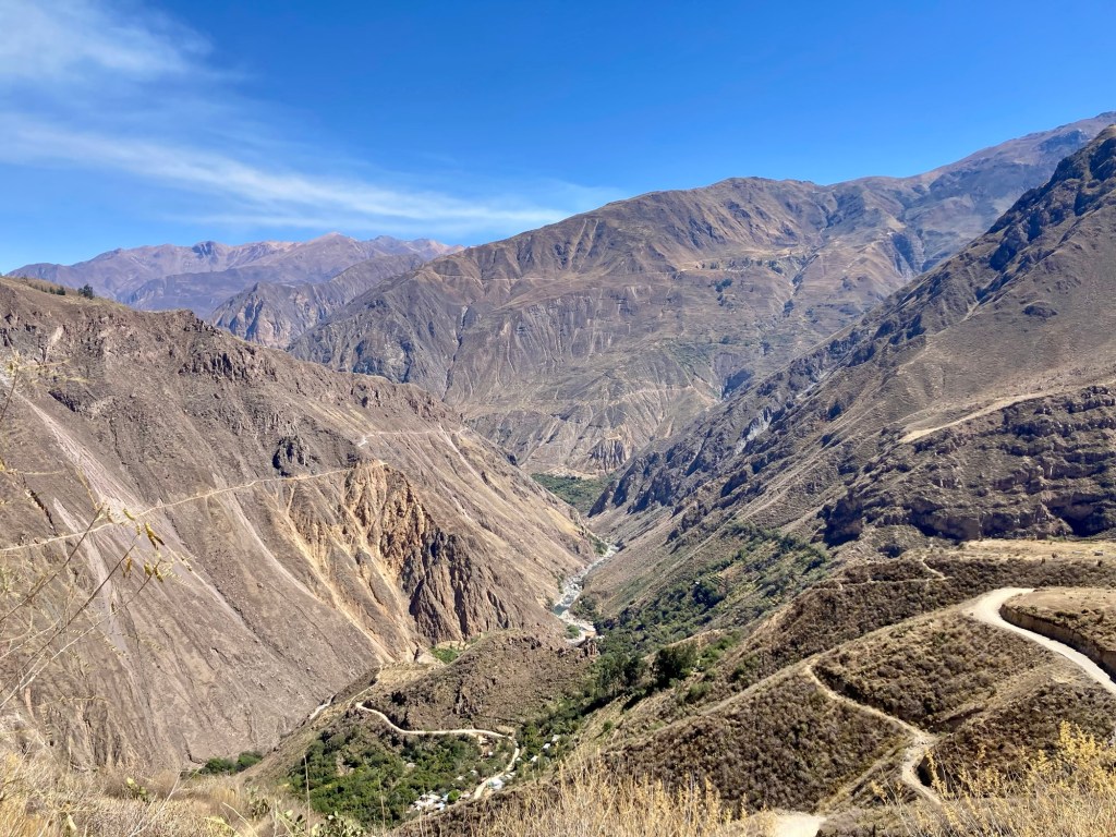
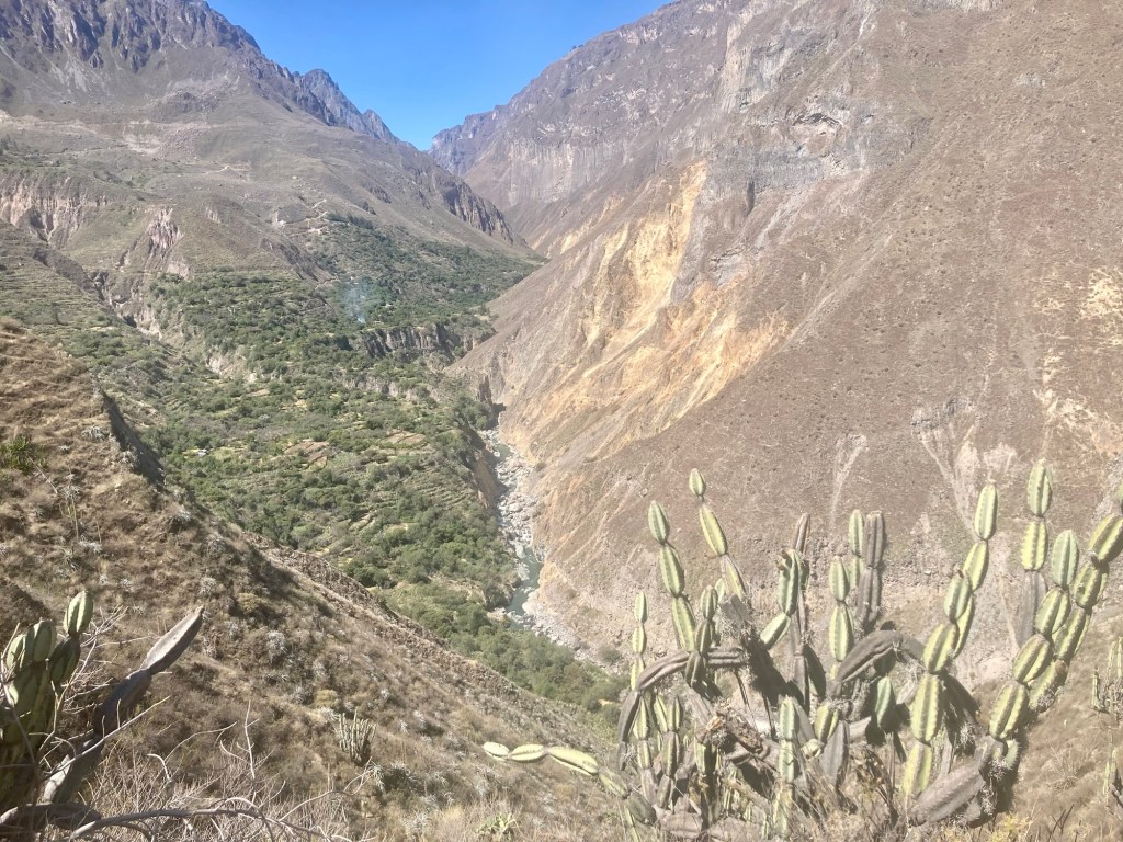
View of the canyon on our descent

By the time we got to the river, we were considering getting more water. We both still had not depleted our supply, but wondered if we should filter from the river. We had brought our filters after all. However, we still were not sure the water was safe to drink, even if filtered. Up to this point all the water we drank in Peru came from bottled water and we were told to avoid anything but. But how did this apply to natural sources? 

In the distance we saw some steam coming from the river and realized we were seeing a geyser. Was this also a bad sign? We both didn’t know. We decided to fill up our Katadyn Be Free bottles with river water for emergency, and continue on with the plan of purchasing bottled water at an upcoming village along the trail. 

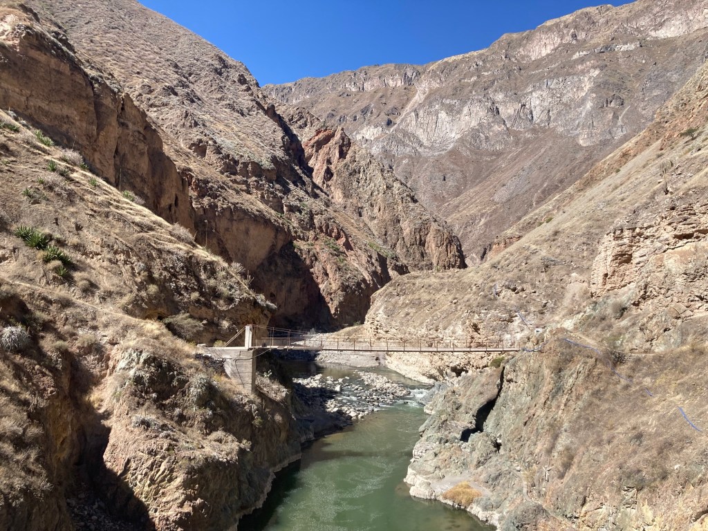
View of a footbridge from our bridge. If you zoom in you will see that this bridge is actually not useable
Colca river. Don’t drink the water!

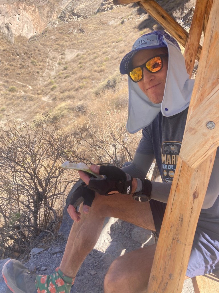
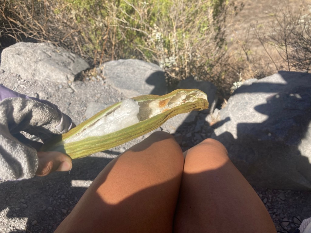
We arrived at a village called Paccla with signs claiming to sell water and various other refreshments. However, after asking the first place we saw – the man told us no, he didn’t have anything. Shoot. Maybe we’d be drinking the river water after all. On the right we saw another place with signs advertising provisions. We were greeted by two barking little dogs who led us to a rustic shelter. There we found a woman who said that yes, she had water to sell! We asked her about the river water and she said it was absolutely not safe to drink. There were nearby mines and possibly heavy metals in the water. She was even so nice as to rinse out our heavy metal laced bottles after we dumped out the water. We bought 4 bottles at 5 soles a piece and refilled our bottles. As we chatted with the woman, she let us sample some of her pacay, a fruit commonly referred to as “ice cream bean”. It is a very interesting fruit. It opens up like a banana and there are small sections of fruit that you pull out a section at a time. The fruit itself is furry and white and dissolved in my mouth like cotton candy leaving nothing but the seed to spit out. She offered us a whole bunch to take with us, but we had to decline as our packs were already pretty full with fuel that we brought, now 2 liters of water, and a bunch of extra emergency gear that we would likely not use but is smart to have just in case. In the end, we ended up taking two pacay to go. 

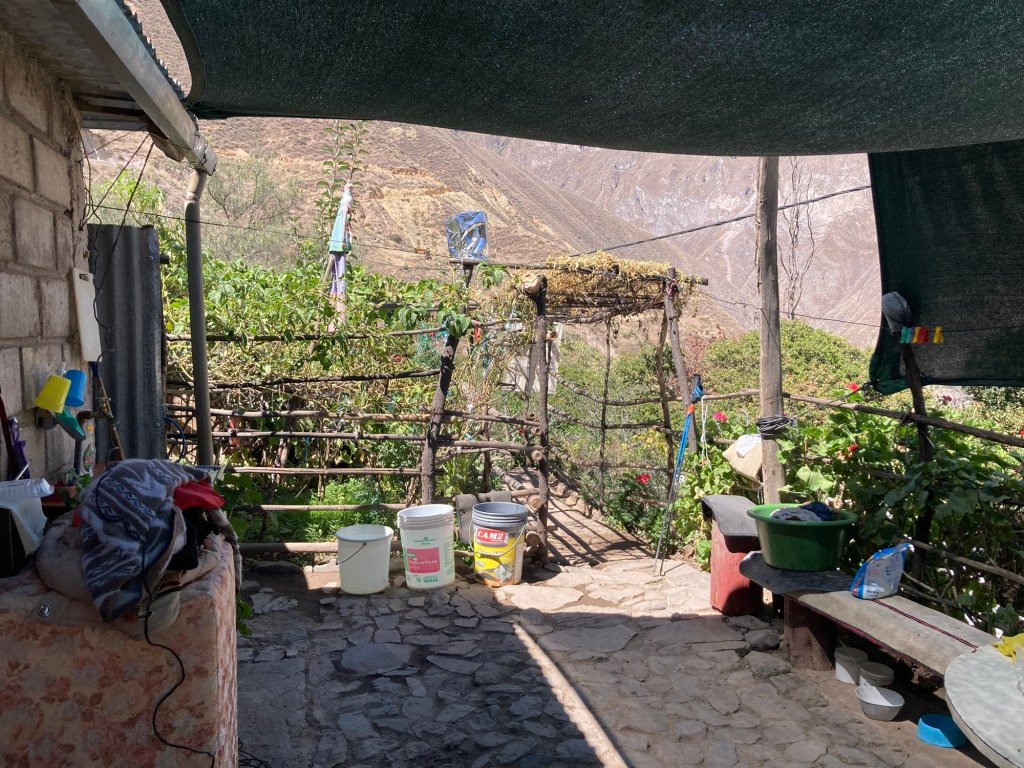
Back porch of villagers home

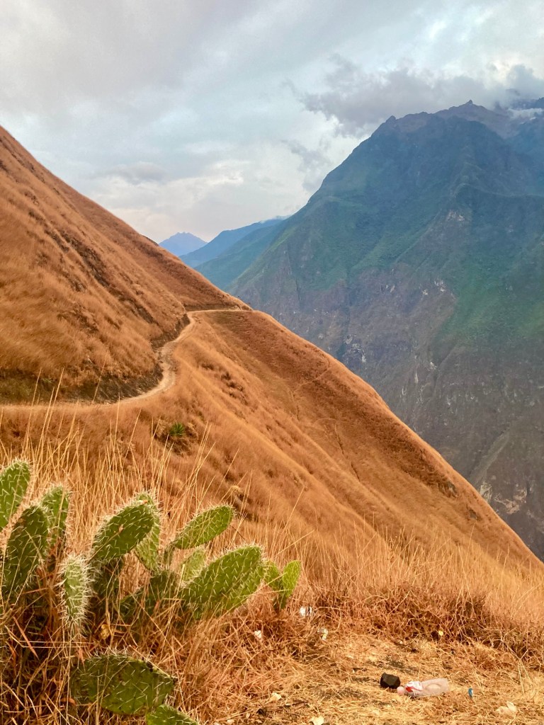
The trail continued on, alternating between fire road and technical single track. The gradually ascending fire road looked like the kind of “douche grade” (6-8%) that I would relish in charging up at sea level. However at this altitude, each time I tried to run up any uphill my breathing was labored and my heart rate would be up in the 150s before I knew it. It wasn’t until we got to the downhill that I could start running again. 

Our upcoming trail on the left
Gradual ascent but not gradual enough for these sea level dwelling lungs
Yuch running through a field of cactus
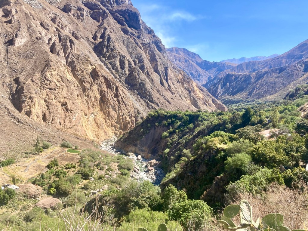
Sángualle in the distance

About halfway through the loop you arrive to the descent to Sangualle. This is where a lot of trekkers descend to the hot springs and an overnight stay. However we didn’t have time as we realized our leisurely pace would get us back to Cabanaconde just in time to beat the sunset. Around the trail from here to San Juan we also spent a few times losing and finding the trail which ate up some of our time. We again stopped to fill up our water at someone’s home who had drinks placed in a trough of cold water. We weren’t necessarily planning on it but she said her water was cheaper than the water we’d find at San Juan. She also offered us some of her fruit – this time Chirimoya, which we declined but later regretted. 

Throughout the day we observed what looked like controlled burns. We saw various plumes of smoke in the distance and we ran through areas filled with cacti in which everything had been burned expect the cacti. We also saw a bigger source of smoke off in the distance. I later read that there is a nearby active volcano, Sabancaya – the second most active volcano in Peru after Ubinas – that frequently lets off plumes of smoke. As far as the smaller plumes of smoke, controlled burns are common agriculture practices used by local farmers to clear the old and stimulate new growth. 

Fig trees flanked the trail to San Juan, where we would reach the bridge to take us to the other side to begin the final ascent. I couldn’t believe the abundance of fig trees and wished it was the summer so that we could be picking and eating as we ran. There are pros and cons of each season. Winter in Peru occurs from June through August bringing sunny days but also cold and dry. Summer in Peru runs from December to March and while everything may be green and verdant it’s also the “rainy season”. It would have been nice to be fueled by figs, but the downside would have meant muddy trails. 

So many fig trees lining the trails
Approaching the bridge to cross to the other side
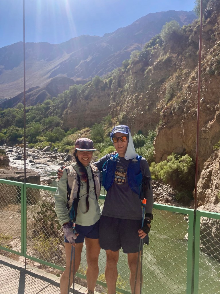
On the bridge. Time to ascend!
We stop to eat our pacay
Pacay also known as ice cream bean

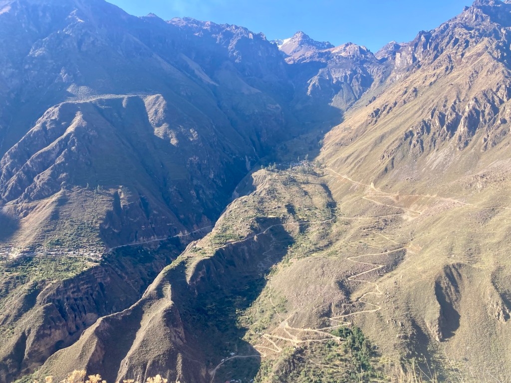
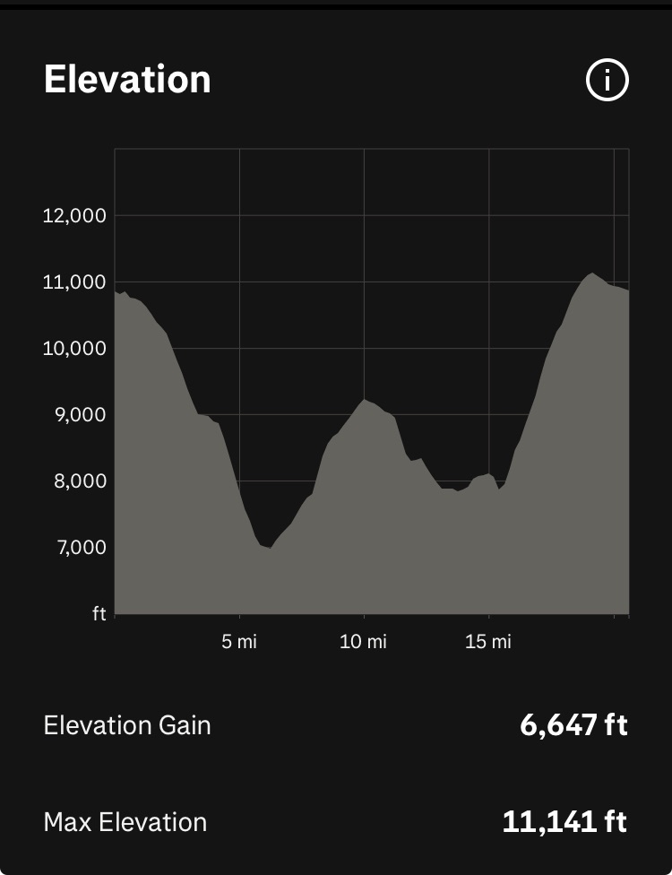
The final ascent up the canyon is approximately 3,000 ft in 3 miles. It looks very steep from a distance but the numerous switchbacks make it feel very doable. Then again, Yuch and I agreed that once you’ve done the Tor that becomes your comparison point for everything else. In short, compared to the Tor, the Colca canyon is a piece of cake. We finished the run around 4:30 pm with plenty of time before sunset. The loop took us approximately 8 hours and 20 minutes. Including our wrong turns, it was about 20.5 miles with 6,600 ft of gain. 

View of descent to Sangualle, where most people go to enjoy the hot springs

Run profile

That night we took showers in our hotel and returned to the same pizza place for dinner. We wanted to try something different but the restaurant we were eyeing was closed so we opted for reliably good food and warm atmosphere. 

The next day traveling back to Arequipa would bring us even more challenges. Our 6:30 am bus broke down and we had to quickly pivot to alternative transportation options, with the help of the local agencies. If there’s one thing I can say about Peruvians thus far on our trip is that they always find a way whether it’s figuring out how to get two tourists back to Arequipa in time to catch their flight to Cusco or how to deliver coffee “to go” when all they have is a plastic bag. 

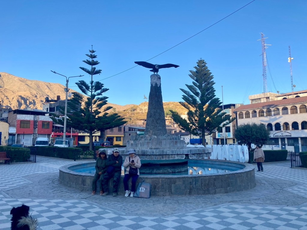
Plaza de Armas in Cabanaconde
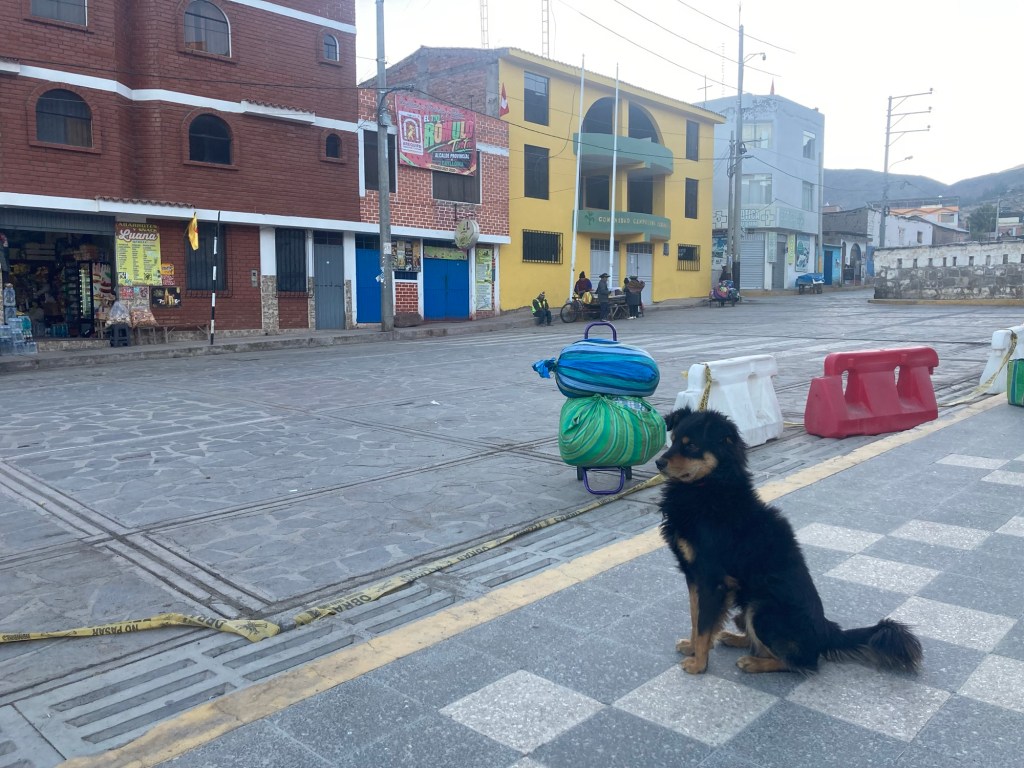
One of many stray dogs in Cabanaconde
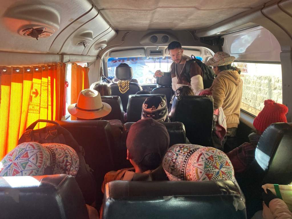
Leg 1/2 on our journey back to Arequipa – a tightly packed minivan

Final thoughts on our Colca Canyon run. I’m glad we went in the direction we did because I felt the initial descent down to the canyon was actually “runnable” (approximately 4,000 ft of loss in 6 miles) If we had gone counterclockwise, I don’t think we could have run the initial descent. At 3,000 ft of loss in 3 miles, it would have been too steep to run. 

We thoroughly enjoyed our various interactions with the women who sold us water, in addition to farmers and workers we encountered on the way. Our Spanish is not great, but it’s definitely good enough to be able to communicate basic pleasantries and information. Even better, these people speak zero English, so we have no choice but to communicate with each other in our rudimentary Spanish. 

If you are a runner this loop is totally doable in a day! To be honest, you could probably even hike it in a day if you’re fairly fit, left at sunrise, and don’t spend too much time dilly-dallying. I think most of the people doing these 2-3 day treks are not the kind of people used to moving all day long and may also want to take their time staying in the various places along the way, such as the hot springs. 

In total we probably consumed about 5-6 liters of water, with all water bought from the two villages along the way. Although it is not recommended to drink from the river, we did come across some small nicely flowing streams up higher in the canyon that probably would have been safe to filter from. However, we didn’t mind playing it safe and paying the local people for their water, especially since it provided us the opportunity to interact with them. I probably would drink more if I did this again but not knowing when the next water source would be, I felt like I was always conserving.

I probably did not eat enough but it can be hard to eat when you’re at altitude. I had two soft flasks of Tailwind (I only brought a small amount and want some for our run in Choquequirao and the Andes 100k), a nut butter and banana sandwich, two bars, a rice krispy treat, and one pacay. 

We did not see any condors or any other wildlife for that matter. Unfortunately we may have just lost the condor lottery for that day, which can happen. Oh well! We also didn’t see that many other people on the trail. While we did come across some, most of the day we felt like we had the canyon to ourselves. 

We both agreed that the Colca Canyon is not as stunning as the Grand Canyon, but it is special and unique in its own way. It is an adventure in a beautiful place and a cultural experience running through and interacting with small villages nestled in the canyon. It was also a good introductory run at altitude. Hopefully it will make our next run in Choquequirao in a few days just a tiny bit “less-hard”!