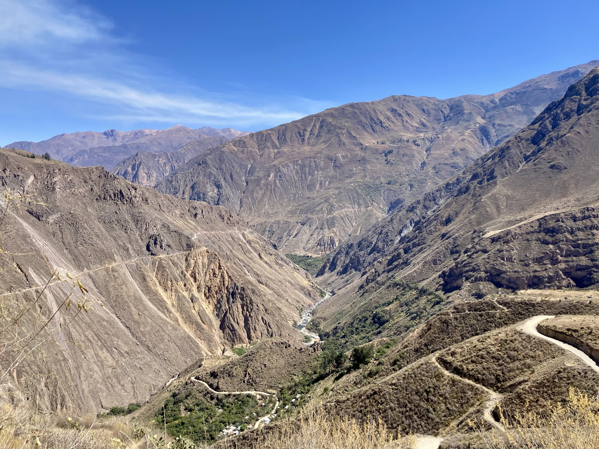
Our Colca Canyon trip started in Arequipa where we stayed for 3 nights upon arrival to Peru. Arequipa is at 7,660 ft and therefore a great place to gradually acclimate before heading to Cabanaconde at 10,800 ft. Arequipa is a beautiful city worth spending a few days, but I may have to write about it elsewhere as there is so much to say about it!
Most people who come to the Colca Canyon do a 2 or 3 day trek, splitting the route into much more manageable pieces – staying in rustic lodging in the canyon and enjoying the hot springs in Sangualle. Since our time was limited we wanted to run it in one day. Once you take into account travel to and from Cabanaconde, the entire trip is about 3 days.
Yuch is a great planner and booked our bus tickets to and from Cabanaconde in advance with the bus company Andalucía. Our bus to Cabanconde was scheduled to leave the bus terminal in Arequipa at 11:30 am and arrive in Cabanaconde by 4:50 pm. This would be our first lesson that Peru is not Switzerland. Busses rarely leave on time, arrive on time, and sometimes the bus just isn’t there period. Communication of delays is rare. As we attempted to depart the terminal just 10 minutes before departure time, we were alerted there was an additional tax we had to pay. Although we had gotten to the terminal way in advance with hours to spare, they waited until the very moment we were ready to board to alert us of this tax. We, along with a number of other tourists, rushed to the other end of the terminal to pay this tax which ended up being 2 soles per person. Finally we boarded our tour bus and were on our way.
As soon as we boarded,we learned that there was no bathroom on the bus. I had just used one I n the terminal, but Yuch really had to go. A fellow passenger comforted us that she had been assured there would be at least 5 stops along the way. That was good to know, but we had no idea when and where these stops would be. We held off on drinking water.
It’s hard to stay hydrated in such a dry place at high altitude when you never know when and where the next bathroom might be. As a result I end up chronically dehydrated which is not great for acclimating to high altitude!
The tourist was right. We had at least 5 stops, but only 2 of which there were bathroom opportunities. The first stop was at a random stop where the bus sat for a very long time before I began to wonder – are we ever going to leave? Did the bus die? I soon realized we were at a gas station and that there was a bathroom opportunity! I asked the bus driver if I could use the bathroom to which he said “claro que si!” I alerted Yuch who had been holding it since the terminal and we happily used the free bathrooms along with a few other passengers.
We had several other hiccups in which we stopped at other random places along the road for no apparent reason. I continued to hold off on water not knowing what the future held.
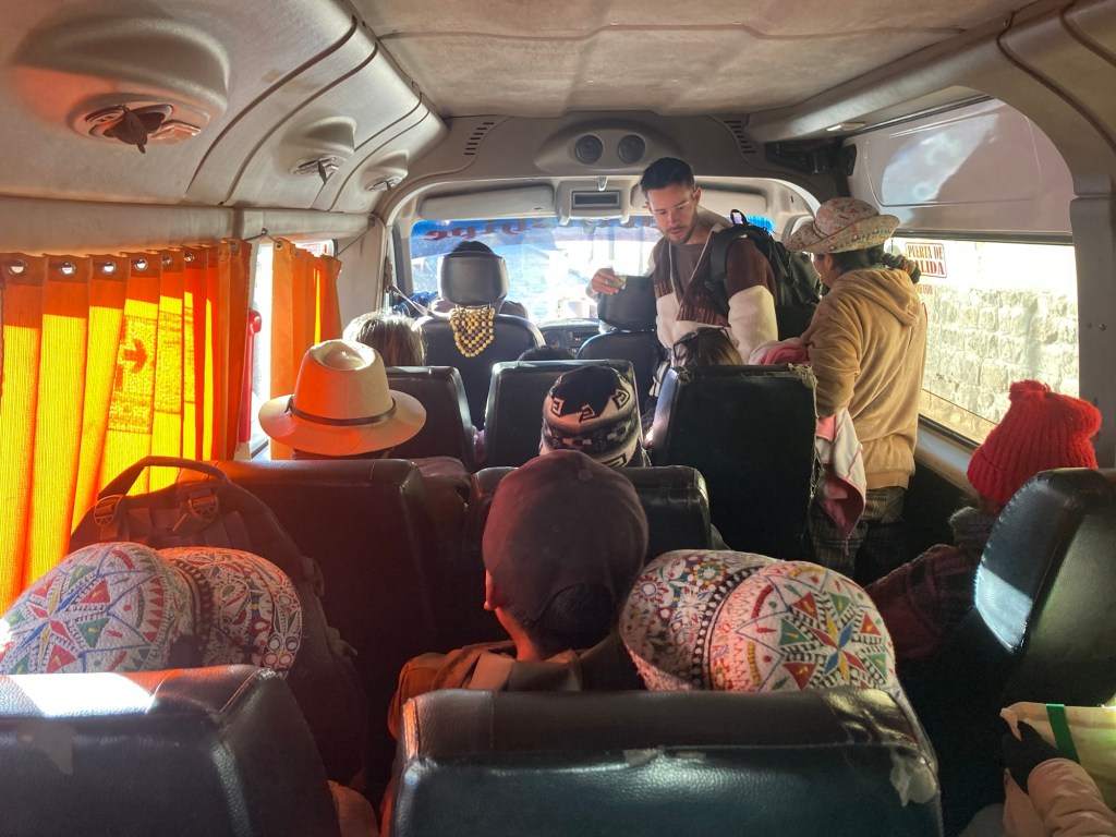
The drive to Cabanaconde is beautiful and you see a lot of vicuńa along the way. As I mentioned, there were definitely more than 5 stops; I would estimate 10-20. Many of the rural people rely on these busses passing by to get from one village to the next, and as a result many stops were made to pick them up and drop them off, regardless of available space on the bus. Many of them are known as “cholitas” or “mamitas”, traditional Peruvian women wearing layers and layers of traditional Peruvian garb; colorful skirts, wool tights, blouses layered with sweaters and scarves, the same ubiquitous embroidered sombrero, and often a manta on their back packed to the brim with who-knows-what. Although these traditional Peruvians look like they are from the past, they have no problem embracing technology. I laughed at the sight of one cholita scrolling her Facebook feed on the bus.
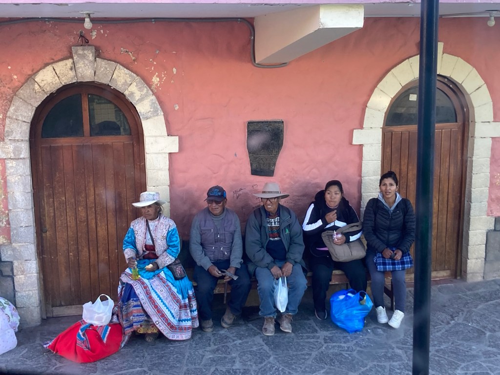
We arrived to Cabanaconde around 6:20 pm, about an hour and a half later than planned. The sun had set, so the mystery of the Colca Canyon would have to wait until the morning. We stayed at La Posada Del Conde Clasicó, a cheap but perfectly nice hotel with WiFi (a pleasant surprise in a remote place). We were also pleasantly surprised to find a cozy pizza place just down the street with a big wood burning stove, a cat curled up at the entrance, and a menu with a number of vegetarian options. Most of all, we were happy to be somewhere warm as Cabanaconde can get as low as 39 degrees in the winter. I had a slight headache that was likely due to the altitude but the lack of adequate hydration probably didn’t help. However the headache was not bad enough to take anything so I went to bed with the hopes that a new day (and coffee) would help eradicate it.
We agreed on a 8 am departure on the trail. Although the sun rises at 6, breakfast (and coffee) would not be served until 7 am. Additionally, condors are most likely to be seen from 8-10 am. With the sunset at 5:30 pm, we figured we could be back by then even if we were moving at 2 mph. Breakfast consisted of instant coffee, fresh papaya juice, bread, avocado, eggs, and cheese. We were off to a good start on our fueling for the day!
We took off at 8 am, with an 18 mile route plotted in the clockwise direction around the canyon. I read this was the preferred direction for this route with the reason being that you start on fresh legs with a steep descent, but end the loop on tired legs with a more manageable last ascent.
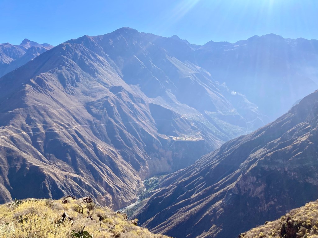
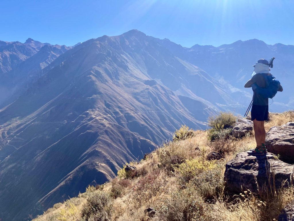
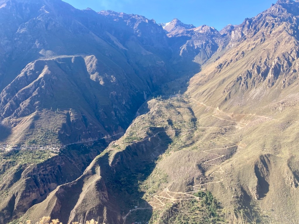
I was so excited to be setting foot on my first “trail run” in Peru and couldn’t stop smiling. I think Yuch felt the same. The descent down to the bottom of the canyon was super manageable. It started out mildly technical and we took our time as we warmed up, but soon enough we were flowing down a nice smooth single track trail along the side of the canyon. We stopped several times at the miradors to look for condors. We initially thought we might have seen some in the distance but were too slow to take out the binoculars. By the time we got the binoculars out, we were pretty sure we were just seeing some kind of hawk or falcon. It was getting hot. Cabanaconde gets to the 60s during the day, but the sun is so intense it feels much hotter. Plus we were descending to 7,000 ft.
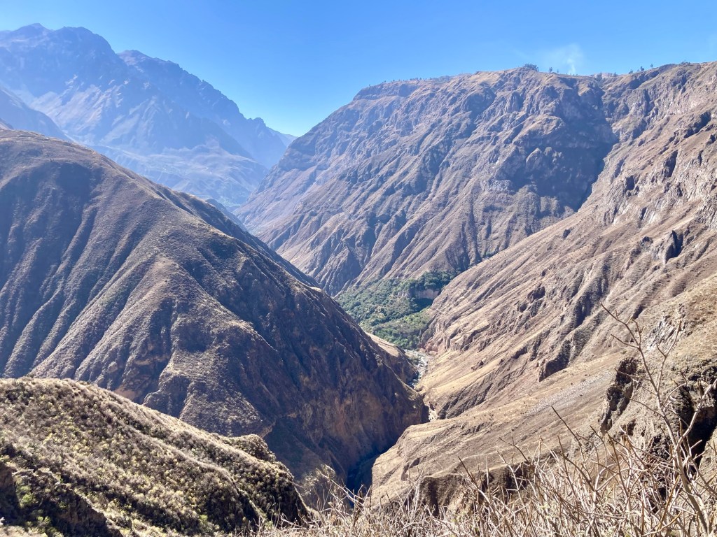
By the time we got to the river, we were considering getting more water. We both still had not depleted our supply, but wondered if we should filter from the river. We had brought our filters after all. However, we still were not sure the water was safe to drink, even if filtered. Up to this point all the water we drank in Peru came from bottled water and we were told to avoid anything but. But how did this apply to natural sources?
In the distance we saw some steam coming from the river and realized we were seeing a geyser. Was this also a bad sign? We both didn’t know. We decided to fill up our Katadyn Be Free bottles with river water for emergency, and continue on with the plan of purchasing bottled water at an upcoming village along the trail.
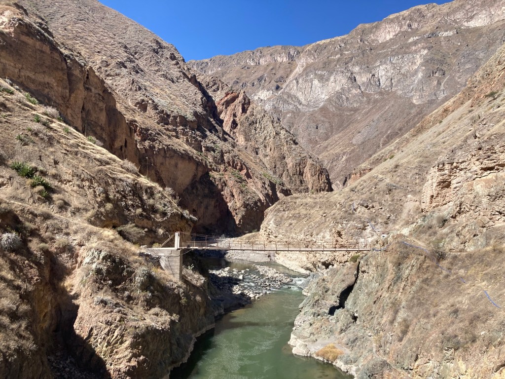
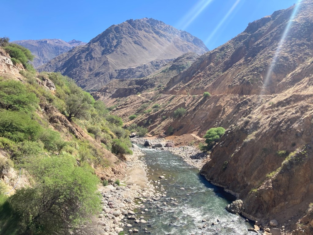
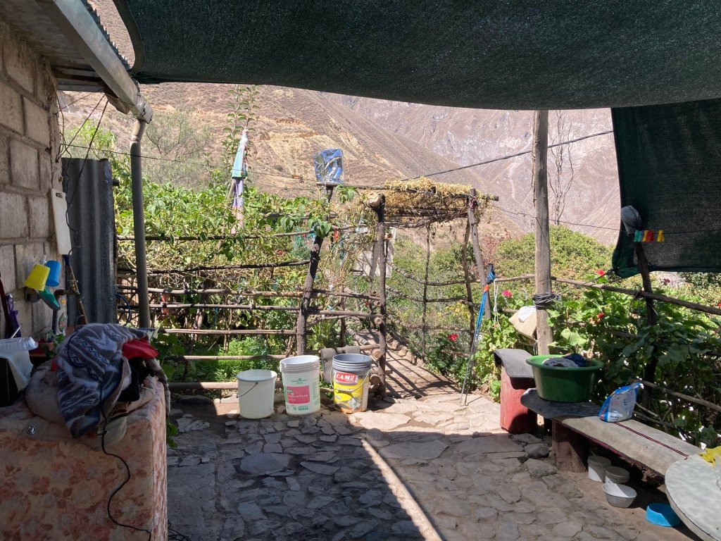
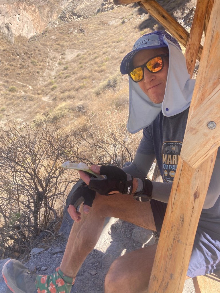
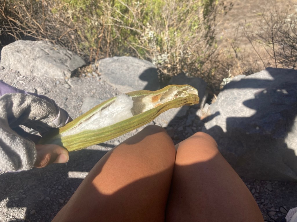
We arrived at a village called Paccla with signs claiming to sell water and various other refreshments. However, after asking the first place we saw – the man told us no, he didn’t have anything. Shoot. Maybe we’d be drinking the river water after all. On the right we saw another place with signs advertising provisions. We were greeted by two barking little dogs who led us to a rustic shelter. There we found a woman who said that yes, she had water to sell! We asked her about the river water and she said it was absolutely not safe to drink. There were nearby mines and possibly heavy metals in the water. She was even so nice as to rinse out our heavy metal laced bottles after we dumped out the water. We bought 4 bottles at 5 soles a piece and refilled our bottles. As we chatted with the woman, she let us sample some of her pacay, a fruit commonly referred to as “ice cream bean”. It is a very interesting fruit. It opens up like a banana and there are small sections of fruit that you pull out a section at a time. The fruit itself is furry and white and dissolved in my mouth like cotton candy leaving nothing but the seed to spit out. She offered us a whole bunch to take with us, but we had to decline as our packs were already pretty full with fuel that we brought, now 2 liters of water, and a bunch of extra emergency gear that we would likely not use but is smart to have just in case. In the end, we ended up taking two pacay to go.
The trail continued on, alternating between fire road and technical single track. The gradually ascending fire road looked like the kind of “douche grade” (6-8%) that I would relish in charging up at sea level. However at this altitude, each time I tried to run up any uphill my breathing was labored and my heart rate would be up in the 150s before I knew it. It wasn’t until we got to the downhill that I could start running again.
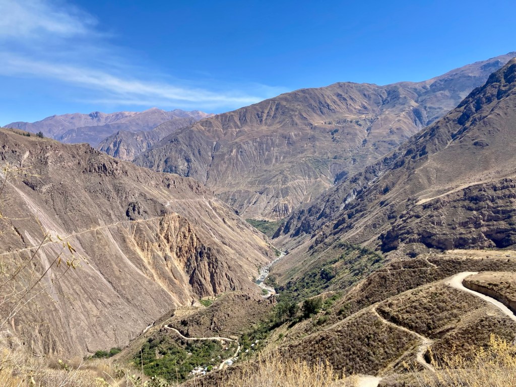
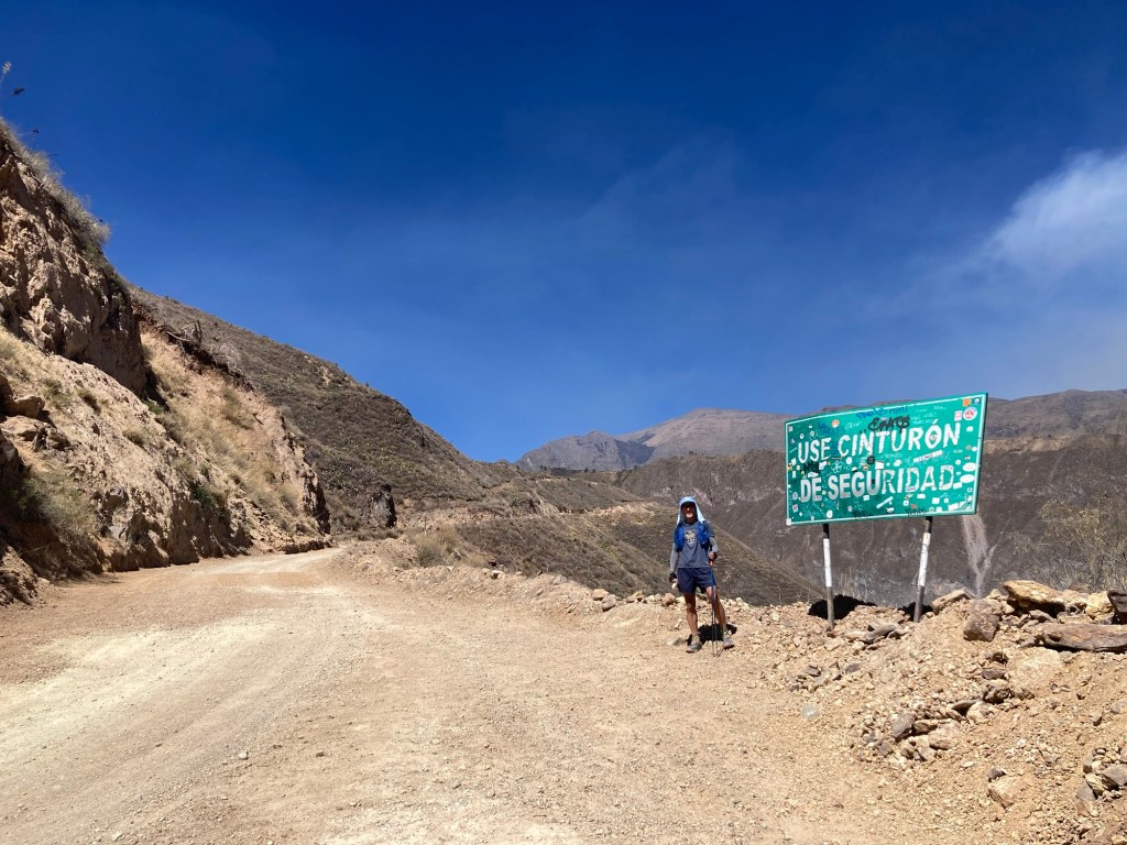

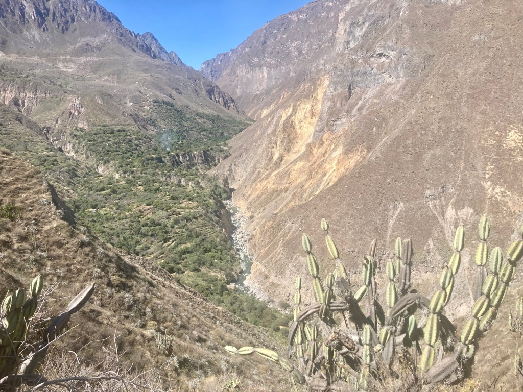
About halfway through the loop you arrive to the descent to Sangualle. This is where a lot of trekkers descend to the hot springs and an overnight stay. However we didn’t have time as we realized our leisurely pace would get us back to Cabanaconde just in time to beat the sunset. Around the trail from here to San Juan we also spent a few times losing and finding the trail which ate up some of our time. We again stopped to fill up our water at someone’s home who had drinks placed in a trough of cold water. We weren’t necessarily planning on it but she said her water was cheaper than the water we’d find at San Juan. She also offered us some of her fruit – this time Chirimoya, which we declined but later regretted.
Throughout the day we observed what looked like controlled burns. We saw various plumes of smoke in the distance and we ran through areas filled with cacti in which everything had been burned expect the cacti. We also saw a bigger source of smoke off in the distance. I later read that there is a nearby active volcano, Sabancaya – the second most active volcano in Peru after Ubinas – that frequently lets off plumes of smoke. As far as the smaller plumes of smoke, controlled burns are common agriculture practices used by local farmers to clear the old and stimulate new growth.
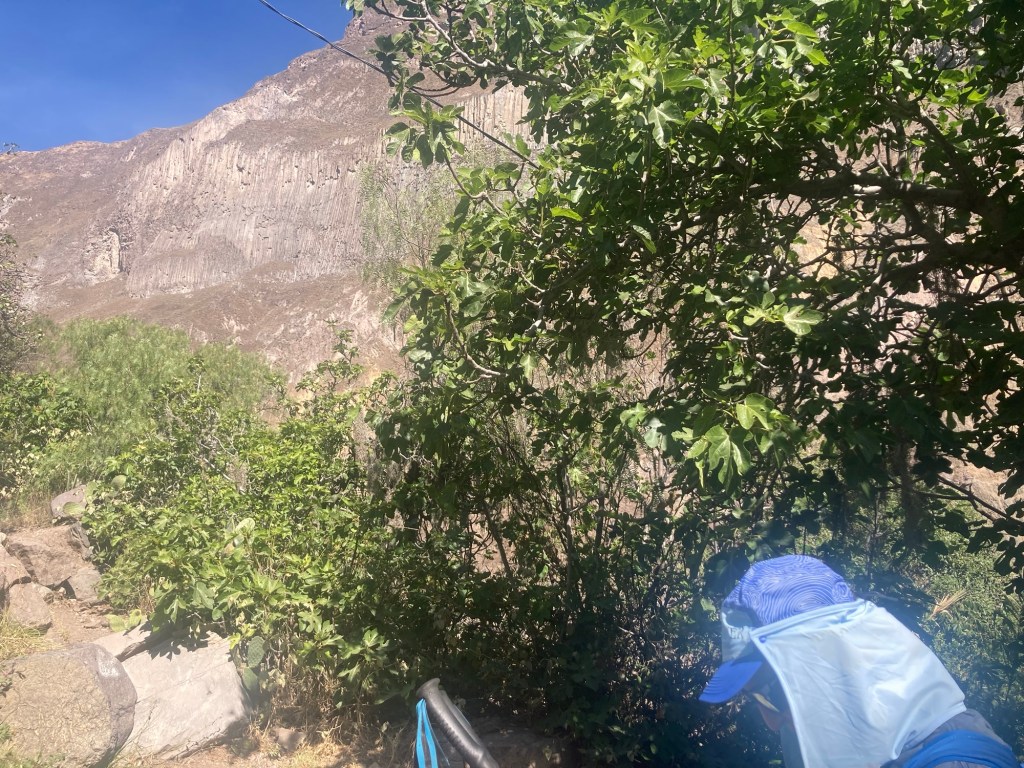
Fig trees flanked the trail to San Juan, where we would reach the bridge to take us to the other side to begin the final ascent. I couldn’t believe the abundance of fig trees and wished it was the summer so that we could be picking and eating as we ran. There are pros and cons of each season. Winter in Peru occurs from June through August bringing sunny days but also cold and dry. Summer in Peru runs from December to March and while everything may be green and verdant it’s also the “rainy season”. It would have been nice to be fueled by figs, but the downside would have meant muddy trails.
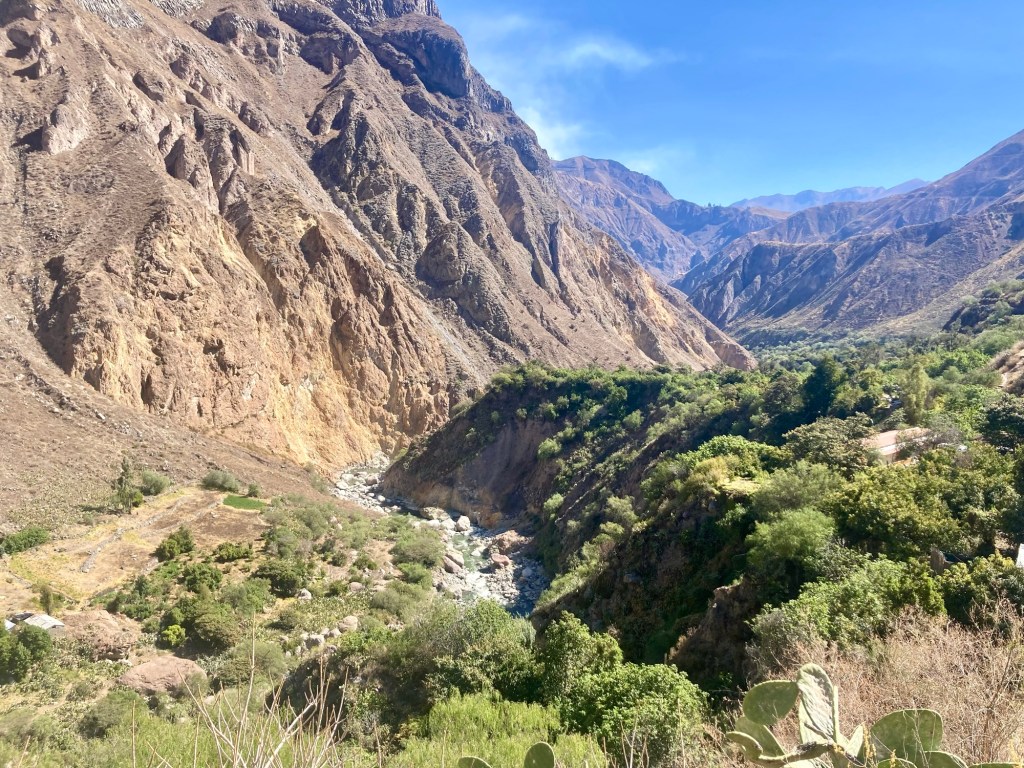
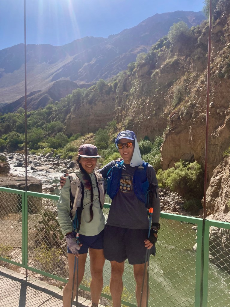
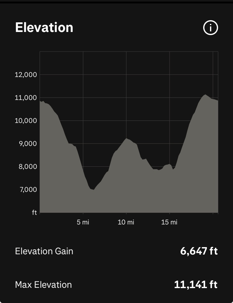
The final ascent up the canyon is approximately 3,000 ft in 3 miles. It looks very steep from a distance but the numerous switchbacks make it feel very doable. Then again, Yuch and I agreed that once you’ve done the Tor that becomes your comparison point for everything else. In short, compared to the Tor, the Colca canyon is a piece of cake. We finished the run around 4:30 pm with plenty of time before sunset. The loop took us approximately 8 hours and 20 minutes. Including our wrong turns, it was about 20.5 miles with 6,600 ft of gain.
That night we took showers in our hotel and returned to the same pizza place for dinner. We wanted to try something different but the restaurant we were eyeing was closed so we opted for reliably good food and warm atmosphere.
The next day traveling back to Arequipa would bring us even more challenges. Our 6:30 am bus broke down and we had to quickly pivot to alternative transportation options, with the help of the local agencies. If there’s one thing I can say about Peruvians thus far on our trip is that they always find a way whether it’s figuring out how to get two tourists back to Arequipa in time to catch their flight to Cusco or how to deliver coffee “to go” when all they have is a plastic bag.
Final thoughts on our Colca Canyon run. I’m glad we went in the direction we did because I felt the initial descent down to the canyon was actually “runnable” (approximately 4,000 ft of loss in 6 miles) If we had gone counterclockwise, I don’t think we could have run the initial descent. At 3,000 ft of loss in 3 miles, it would have been too steep to run.
We thoroughly enjoyed our various interactions with the women who sold us water, in addition to farmers and workers we encountered on the way. Our Spanish is not great, but it’s definitely good enough to be able to communicate basic pleasantries and information. Even better, these people speak zero English, so we have no choice but to communicate with each other in our rudimentary Spanish.
If you are a runner this loop is totally doable in a day! To be honest, you could probably even hike it in a day if you’re fairly fit, left at sunrise, and don’t spend too much time dilly-dallying. I think most of the people doing these 2-3 day treks are not the kind of people used to moving all day long and may also want to take their time staying in the various places along the way, such as the hot springs.
In total we probably consumed about 5-6 liters of water, with all water bought from the two villages along the way. Although it is not recommended to drink from the river, we did come across some small nicely flowing streams up higher in the canyon that probably would have been safe to filter from. However, we didn’t mind playing it safe and paying the local people for their water, especially since it provided us the opportunity to interact with them. I probably would drink more if I did this again but not knowing when the next water source would be, I felt like I was always conserving.
I probably did not eat enough but it can be hard to eat when you’re at altitude. I had two soft flasks of Tailwind (I only brought a small amount and want some for our run in Choquequirao and the Andes 100k), a nut butter and banana sandwich, two bars, a rice krispy treat, and one pacay.
We did not see any condors or any other wildlife for that matter. Unfortunately we may have just lost the condor lottery for that day, which can happen. Oh well! We also didn’t see that many other people on the trail. While we did come across some, most of the day we felt like we had the canyon to ourselves.
We both agreed that the Colca Canyon is not as stunning as the Grand Canyon, but it is special and unique in its own way. It is an adventure in a beautiful place and a cultural experience running through and interacting with small villages nestled in the canyon. It was also a good introductory run at altitude. Hopefully it will make our next run in Choquequirao in a few days just a tiny bit “less-hard”!


